Earthquake 2 km NW of Ocotillo, CA
Mon, 02 Mar 2026 09:44:54 GMT
Time1 hour ago
Location
32.7465, -116.0133
Depth
11.4 KM
Event Summary
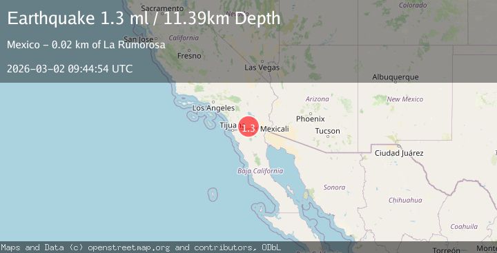
A 1.3 magnitude earthquake struck on 2 km NW of Ocotillo, CA, at Mon, 02 Mar 2026 09:44:54 GMT. Depth: 11.3900003433228km. Reviewed by USGS seismologists, this minor quake occurred at a magnitude type of ml.
Magnitude
1.3
ml
Source
USGS
Intensity
-
Agency Reports
1 Sources| Source | Magnitude | Depth | Time |
|---|---|---|---|
| USGSPrimary | 1.3 | 11 km | 1 hour ago |
Earthquake Details
AutomaticEvent IDusgs_ci41407312
Tsunami PotentialNo
Magnitude Typeml
Nearest Places
- 0.5 km
- 1.3 km
- 2.0 km
- 2.0 km
- 2.0 km
Comments
Join the discussion about this event.
Latest Earthquakes
3.6Mag
Rat Islands, Aleutian Islands, Alaska
Time1 hour ago
Depth0.00 km
SourceVYT (Automatic)
0.4Mag
4 km ESE of Palomar Observatory, CA
Time1 hour ago
Depth4.72 km
SourceUSGS (Automatic)
0.3Mag
2 km NW of The Geysers, CA
Time1 hour ago
Depth1.24 km
SourceUSGS (Automatic)
1.4Mag
Tarapaca, Chile
Time1 hour ago
Depth0.00 km
SourceVYT (Automatic)
2.3Mag
Borneo
Time1 hour ago
Depth70.92 km
SourceBMKG
Nearby Earthquakes
3.0Mag
SOUTHERN CALIFORNIA
Time2 years ago
Depth13.20 km
SourceNEIC (Automatic)
1.1Mag
15 km WNW of Ocotillo, CA
Time2 weeks ago
Depth11.48 km
SourceUSGS (Automatic)
3.0Mag
SOUTHERN CALIFORNIA
Time5 years ago
Depth10.00 km
SourceNEIC (Automatic)
1.1Mag
17 km NW of Ocotillo, CA
Time3 weeks ago
Depth11.53 km
SourceUSGS (Automatic)
1.8Mag
California-Baja California border region
Time2 weeks ago
Depth8.91 km
SourceVYT (Automatic)