Earthquake 6 km NW of San Jacinto, CA
Mon, 02 Mar 2026 13:27:32 GMT
Time3 hours ago
Location
33.8193, -117.0008
Depth
14.9 KM
Event Summary
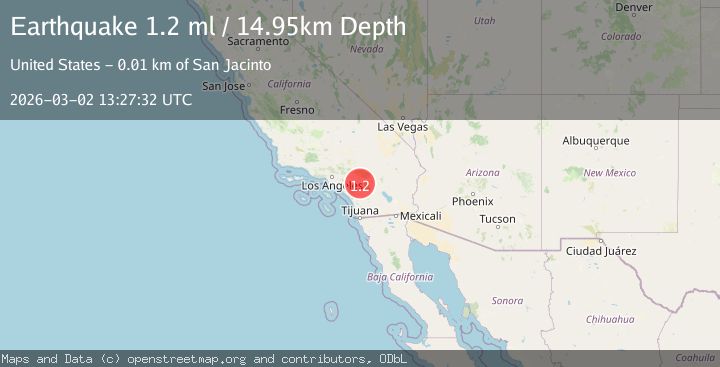
A 1.2 magnitude earthquake struck on 6 km NW of San Jacinto, CA, at Mon, 02 Mar 2026 13:27:32 GMT. Depth: 14.9499998092651km. Reviewed by USGS seismologists, this minor quake occurred at a magnitude type of ml.
Magnitude
1.2
ml
Source
USGS
Intensity
-
Agency Reports
1 Sources| Source | Magnitude | Depth | Time |
|---|---|---|---|
| USGSPrimary | 1.2 | 15 km | 3 hours ago |
Earthquake Details
AutomaticEvent IDusgs_ci41407360
Tsunami PotentialNo
Magnitude Typeml
Nearest Places
- 1.7 km
- 2.0 km
- 2.0 km
- 2.1 km
- 2.1 km
Comments
Join the discussion about this event.
Latest Earthquakes
1.0Mag
Washington
Time2 hours ago
Depth5.62 km
SourceVYT (Automatic)
2.7Mag
northwestern Russia
Time3 hours ago
Depth109.99 km
SourceVYT (Automatic)
1.7Mag
Southern Alaska
Time3 hours ago
Depth105.35 km
SourceVYT (Automatic)
3.7Mag
Rat Islands, Aleutian Islands, Alaska
Time3 hours ago
Depth69.70 km
SourceVYT (Automatic)
2.3Mag
Minahassa Peninsula, Sulawesi
Time3 hours ago
Depth10.00 km
SourceBMKG
Nearby Earthquakes
2.0Mag
Southern California
Time1 week ago
Depth14.40 km
SourceVYT (Automatic)
3.0Mag
SOUTHERN CALIFORNIA
Time10 years ago
Depth16.00 km
SourceNEIR (Automatic)
3.0Mag
SOUTHERN CALIFORNIA
Time11 years ago
Depth13.00 km
SourceNEIR (Automatic)
3.0Mag
SOUTHERN CALIFORNIA
Time10 years ago
Depth14.00 km
SourceNEIR (Automatic)
0.7Mag
2 km NE of San Jacinto, CA
Time1 week ago
Depth10.03 km
SourceUSGS (Automatic)