Earthquake 17 km SE of Arvin, CA
Wed, 04 Mar 2026 11:33:29 GMT
Time1 hour ago
Location
35.1072, -118.6922
Depth
9.5 KM
Event Summary
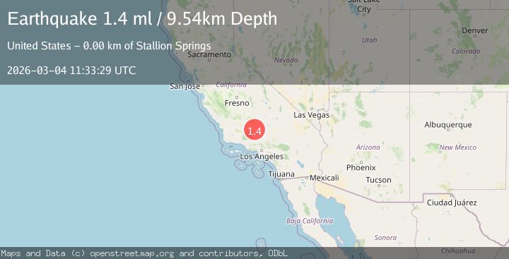
A 1.4 magnitude earthquake struck on 17 km SE of Arvin, CA, at Wed, 04 Mar 2026 11:33:29 GMT. Depth: 9.53999996185303km. Reviewed by USGS seismologists, this minor quake occurred at a magnitude type of ml.
Magnitude
1.4
ml
Source
USGS
Intensity
-
Agency Reports
1 Sources| Source | Magnitude | Depth | Time |
|---|---|---|---|
| USGSPrimary | 1.4 | 10 km | 1 hour ago |
Earthquake Details
AutomaticEvent IDusgs_ci41408968
Tsunami PotentialNo
Magnitude Typeml
Nearest Places
- 1.8 km
- 2.0 km
- 2.8 km
- 4.4 km
- 5.0 km
Comments
Join the discussion about this event.
Latest Earthquakes
2.6Mag
Region Metropolitana, Chile
Time1 hour ago
Depth117.31 km
SourceVYT (Automatic)
2.7Mag
Atacama, Chile
Time1 hour ago
Depth0.00 km
SourceVYT (Automatic)
2.2Mag
FRANCE
Time1 hour ago
Depth5.00 km
SourceReNaSS (Automatic)
1.5Mag
Kenai Peninsula, Alaska
Time1 hour ago
Depth93.99 km
SourceVYT (Automatic)
2.5Mag
south of Alaska
Time1 hour ago
Depth110.35 km
SourceVYT (Automatic)
Nearby Earthquakes
3.0Mag
CENTRAL CALIFORNIA
Time2 years ago
Depth5.00 km
SourceNEIC (Automatic)
1.4Mag
17 km WNW of Tehachapi, CA
Time3 weeks ago
Depth7.58 km
SourceUSGS (Automatic)
1.7Mag
20 km ENE of Arvin, CA
Time1 month ago
Depth5.64 km
SourceUSGS (Automatic)
1.9Mag
19 km NW of Tehachapi, CA
Time1 month ago
Depth3.26 km
SourceUSGS (Automatic)
1.5Mag
14 km SSW of Arvin, CA
Time3 weeks ago
Depth14.97 km
SourceUSGS (Automatic)