Earthquake 12 km NNE of Pāhala, Hawaii
Sun, 04 Jan 2026 08:49:39 GMT
Time4 days ago
Location
19.3028, -155.4213
Depth
26.7 KM
Event Summary
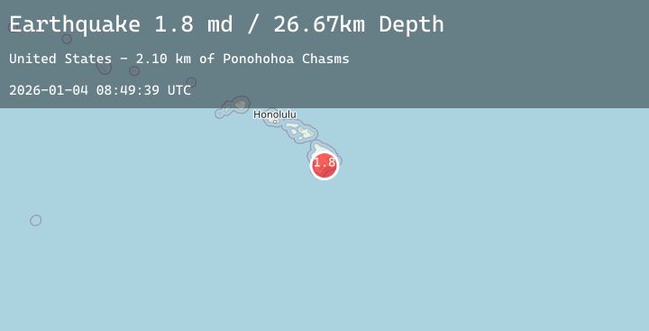
A 1.8 magnitude earthquake struck on 12 km NNE of Pāhala, Hawaii, at Sun, 04 Jan 2026 08:49:39 GMT. Depth: 26.6700000762939km. Reviewed by USGS seismologists, this minor quake occurred at a magnitude type of md.
Magnitude
1.8
md
Source
USGS
Intensity
-
Agency Reports
1 Sources| Source | Magnitude | Depth | Time |
|---|---|---|---|
| USGSPrimary | 1.8 | 27 km | 4 days ago |
Earthquake Details
AutomaticEvent IDusgs_hv74868672
Tsunami PotentialNo
Magnitude Typemd
Nearest Places
- Ponohohoa Chasms2.1 km
- Pu‘ukuanene2.2 km
- Kapāpala2.9 km
- Kealaalea Hills3.5 km
- Pu‘ukou3.5 km
Comments
Join the discussion about this event.
Latest Earthquakes
5.6Mag
EASTERN NEW GUINEA REG., P.N.G.
Time3 days ago
Depth182.00 km
SourceEMSC (Automatic)
2.5Mag
Java, Indonesia
Time3 days ago
Depth27.26 km
SourceBMKG (Automatic)
4.5Mag
Southwest of Sumatra, Indonesia
Time3 days ago
Depth10.00 km
SourceBMKG (Automatic)
1.9Mag
4 km S of Pāhala, Hawaii
Time3 days ago
Depth30.88 km
SourceUSGS (Automatic)
1.3Mag
CENTRAL TURKEY
Time3 days ago
Depth7.10 km
SourceAFAD (Automatic)
Nearby Earthquakes
1.9Mag
4 km S of Pāhala, Hawaii
Time3 days ago
Depth30.88 km
SourceUSGS (Automatic)
1.8Mag
13 km ESE of Pāhala, Hawaii
Time4 days ago
Depth29.52 km
SourceUSGS (Automatic)
1.8Mag
13 km SSE of Volcano, Hawaii
Time4 days ago
Depth2.29 km
SourceUSGS (Automatic)
2.1Mag
ISLAND OF HAWAII, HAWAII
Time4 days ago
Depth34.80 km
SourceHV (Automatic)