Earthquake 27 km NNW of Pāhala, Hawaii
Thu, 08 Jan 2026 17:56:19 GMT
Time2 days ago
Location
19.4312, -155.5830
Depth
49.7 KM
Event Summary
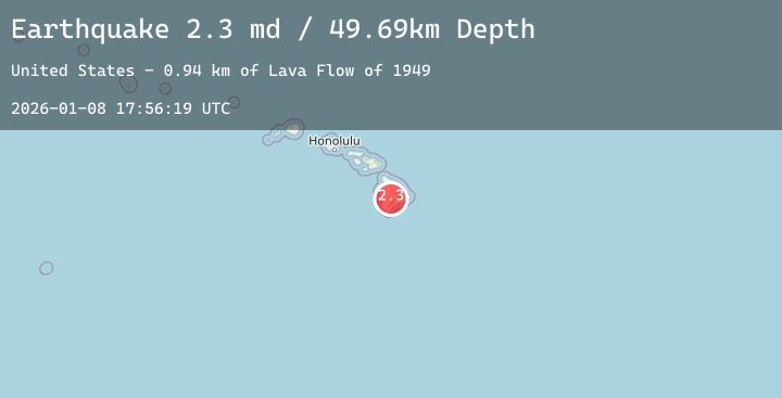
A 2.3 magnitude earthquake struck on 27 km NNW of Pāhala, Hawaii, at Thu, 08 Jan 2026 17:56:19 GMT. Depth: 49.689998626709km. Reviewed by USGS seismologists, this minor quake occurred at a magnitude type of md.
Magnitude
2.3
md
Source
USGS
Intensity
-
Agency Reports
3 Sources| Source | Magnitude | Depth | Time |
|---|---|---|---|
| USGSPrimary | 1.9 | 50 km | 2 days ago |
| HV | 2.3 | 31 km | 2 days ago |
| USGSPrimary | 2.3 | 31 km | 2 days ago |
Earthquake Details
AutomaticEvent IDusgs_hv74870532
Tsunami PotentialNo
Magnitude Typemd
Nearest Places
- Lava Flow of 19491.3 km
- ‘Ainapō Trail1.9 km
- Lua Hohonu2.6 km
- South Pit2.7 km
- Lua Hou2.7 km
Comments
Join the discussion about this event.
Latest Earthquakes
2.6Mag
Northern Sumatra, Indonesia
Time2 days ago
Depth5.65 km
SourceBMKG (Automatic)
3.8Mag
Talaud Islands, Indonesia
Time2 days ago
Depth45.76 km
SourceBMKG (Automatic)
2.1Mag
Sulawesi, Indonesia
Time2 days ago
Depth3.90 km
SourceBMKG (Automatic)
1.7Mag
45 km W of Ferry, Alaska
Time2 days ago
Depth6.20 km
SourceUSGS (Automatic)
2.0Mag
West Papua Region, Indonesia
Time2 days ago
Depth17.74 km
SourceBMKG (Automatic)
Nearby Earthquakes
2.3Mag
ISLAND OF HAWAII, HAWAII
Time2 days ago
Depth39.40 km
SourceHV (Automatic)
1.9Mag
22 km ESE of Naalehu, Hawaii
Time2 days ago
Depth34.41 km
SourceUSGS (Automatic)
2.0Mag
0 km N of Pāhala, Hawaii
Time2 days ago
Depth30.21 km
SourceUSGS (Automatic)
2.0Mag
ISLAND OF HAWAII, HAWAII
Time2 days ago
Depth36.00 km
SourceHV (Automatic)
1.7Mag
21 km SSE of Pāhala, Hawaii
Time2 days ago
Depth34.06 km
SourceUSGS (Automatic)