Earthquake 13 km ESE of Pāhala, Hawaii
Tue, 20 Jan 2026 15:30:26 GMT
Time1 week ago
Location
19.1417, -155.3720
Depth
29.6 KM
Event Summary
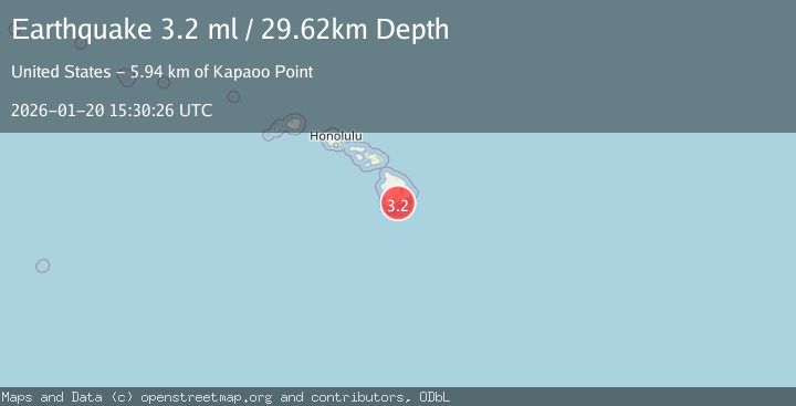
A 3.2 magnitude earthquake struck on 13 km ESE of Pāhala, Hawaii, at Tue, 20 Jan 2026 15:30:26 GMT. Depth: 29.62km. Reviewed by USGS seismologists, this minor quake occurred at a magnitude type of ml.
Magnitude
3.2
ml
Source
USGS
Intensity
-
Agency Reports
1 Sources| Source | Magnitude | Depth | Time |
|---|---|---|---|
| USGSPrimary | 3.2 | 30 km | 1 week ago |
Earthquake Details
ConfirmedEvent IDusgs_hv74880777
Tsunami PotentialNo
Magnitude Typeml
Nearest Places
- Kapaoo Point5.9 km
- Laahana6.0 km
- Punahaha6.3 km
- Waiwelawela Point6.5 km
- Mahuka Bay6.5 km
Comments
Join the discussion about this event.
Latest Earthquakes
1.2Mag
13 km WSW of Stanton, Texas
Time18 hours ago
Depth3.46 km
SourceUSGS (Automatic)
2.0Mag
WESTERN TURKEY
Time18 hours ago
Depth7.60 km
SourceKOERI (Automatic)
4.4Mag
Sulawesi, Indonesia
Time18 hours ago
Depth5.00 km
SourceBMKG (Automatic)
1.1Mag
11 km N of Quilcene, Washington
Time18 hours ago
Depth20.76 km
SourceUSGS
1.8Mag
PYRENEES
Time18 hours ago
Depth1.40 km
SourceIGN (Automatic)
Nearby Earthquakes
1.9Mag
13 km SE of Pāhala, Hawaii
Time4 days ago
Depth29.31 km
SourceUSGS (Automatic)
1.8Mag
13 km SE of Pāhala, Hawaii
Time20 hours ago
Depth28.46 km
SourceUSGS (Automatic)
2.1Mag
ISLAND OF HAWAII, HAWAII
Time3 days ago
Depth30.30 km
SourceHV (Automatic)
2.5Mag
ISLAND OF HAWAII, HAWAII
Time2 days ago
Depth8.00 km
SourceHV (Automatic)
1.7Mag
21 km SE of Pāhala, Hawaii
Time3 days ago
Depth34.15 km
SourceUSGS (Automatic)