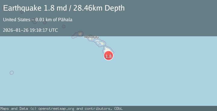
Earthquake 13 km SE of Pāhala, Hawaii
Mon, 26 Jan 2026 19:10:17 GMT
Time19 hours ago
Location
19.1242, -155.3805
Depth
28.5 KM
Event Summary
A 1.8 magnitude earthquake struck on 13 km SE of Pāhala, Hawaii, at Mon, 26 Jan 2026 19:10:17 GMT. Depth: 28.4599990844727km. Reviewed by USGS seismologists, this minor quake occurred at a magnitude type of md.
Magnitude
1.8
md
Source
USGS
Intensity
-
Agency Reports
1 Sources| Source | Magnitude | Depth | Time |
|---|---|---|---|
| USGSPrimary | 1.8 | 28 km | 19 hours ago |
Earthquake Details
AutomaticEvent IDusgs_hv74885692
Tsunami PotentialNo
Magnitude Typemd
Nearest Places
- Ahole Heiau6.8 km
- Waiapele Bay7.1 km
- Kapaoo Point7.4 km
- Laahana7.5 km
- Punahaha7.5 km
Comments
Join the discussion about this event.
Latest Earthquakes
2.6Mag
Minahassa Peninsula, Sulawesi
Time17 hours ago
Depth118.00 km
SourceBMKG (Automatic)
2.8Mag
South of Bali, Indonesia
Time17 hours ago
Depth10.00 km
SourceBMKG (Automatic)
1.7Mag
31 km SE of Denali National Park, Alaska
Time17 hours ago
Depth0.60 km
SourceUSGS (Automatic)
2.2Mag
WESTERN TURKEY
Time17 hours ago
Depth14.90 km
SourceKOERI (Automatic)
2.2Mag
13 km NW of Ferry, Alaska
Time17 hours ago
Depth139.50 km
SourceUSGS (Automatic)
Nearby Earthquakes
1.9Mag
13 km SE of Pāhala, Hawaii
Time4 days ago
Depth29.31 km
SourceUSGS (Automatic)
3.2Mag
13 km ESE of Pāhala, Hawaii
Time6 days ago
Depth29.62 km
SourceUSGS
2.0Mag
21 km SSE of Pāhala, Hawaii
Time3 days ago
Depth30.78 km
SourceUSGS (Automatic)
1.7Mag
21 km SE of Pāhala, Hawaii
Time3 days ago
Depth34.15 km
SourceUSGS (Automatic)
2.5Mag
ISLAND OF HAWAII, HAWAII
Time2 days ago
Depth8.00 km
SourceHV (Automatic)