Earthquake 5 km WSW of Pāhala, Hawaii
Sun, 08 Feb 2026 10:23:13 GMT
Time1 hour ago
Location
19.1793, -155.5222
Depth
29.8 KM
Event Summary
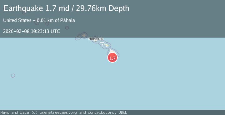
A 1.7 magnitude earthquake struck on 5 km WSW of Pāhala, Hawaii, at Sun, 08 Feb 2026 10:23:13 GMT. Depth: 29.7600002288818km. Reviewed by USGS seismologists, this minor quake occurred at a magnitude type of md.
Magnitude
1.7
md
Source
USGS
Intensity
-
Agency Reports
1 Sources| Source | Magnitude | Depth | Time |
|---|---|---|---|
| USGSPrimary | 1.7 | 30 km | 1 hour ago |
Earthquake Details
AutomaticEvent IDusgs_hv74896477
Tsunami PotentialNo
Magnitude Typemd
Nearest Places
- Punalu‘u0.6 km
- Lower Moaula Camp0.7 km
- Pu‘u‘enuhe1.6 km
- Kaimuokanaka1.7 km
- Lae‘opuhili2.0 km
Comments
Join the discussion about this event.
Latest Earthquakes
1.9Mag
53 km W of Anchor Point, Alaska
Time5 minutes ago
Depth93.00 km
SourceUSGS (Automatic)
2.3Mag
CZECH REPUBLIC
Time8 minutes ago
Depth3.60 km
SourceGFZ (Automatic)
1.5Mag
86 km NNW of Karluk, Alaska
Time13 minutes ago
Depth5.00 km
SourceUSGS (Automatic)
2.5Mag
Sumbawa Region, Indonesia
Time14 minutes ago
Depth24.83 km
SourceBMKG (Automatic)
3.3Mag
CATANDUANES, PHILIPPINES
Time24 minutes ago
Depth4.00 km
SourcePIVS (Automatic)
Nearby Earthquakes
2.3Mag
ISLAND OF HAWAII, HAWAII
Time1 week ago
Depth29.60 km
SourceHV (Automatic)
2.3Mag
3 km SW of Pāhala, Hawaii
Time1 week ago
Depth29.59 km
SourceUSGS (Automatic)
2.4Mag
ISLAND OF HAWAII, HAWAII
Time1 week ago
Depth30.00 km
SourceHV (Automatic)
2.2Mag
4 km SSW of Pāhala, Hawaii
Time18 hours ago
Depth31.92 km
SourceUSGS (Automatic)
1.9Mag
4 km SSW of Pāhala, Hawaii
Time1 week ago
Depth30.06 km
SourceUSGS (Automatic)