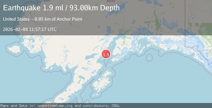
Earthquake 53 km W of Anchor Point, Alaska
Sun, 08 Feb 2026 11:57:17 GMT
Time1 hour ago
Location
59.7490, -152.7770
Depth
93.0 KM
Event Summary
A 1.9 magnitude earthquake struck on 53 km W of Anchor Point, Alaska, at Sun, 08 Feb 2026 11:57:17 GMT. Depth: 93km. Reviewed by USGS seismologists, this minor quake occurred at a magnitude type of ml.
Magnitude
1.9
ml
Source
USGS
Intensity
-
Agency Reports
1 Sources| Source | Magnitude | Depth | Time |
|---|---|---|---|
| USGSPrimary | 1.9 | 93 km | 1 hour ago |
Earthquake Details
AutomaticEvent IDusgs_ak2026csrjoq
Tsunami PotentialNo
Magnitude Typeml
Nearest Places
- Chinitna Bay13.2 km
- Spring Point14.6 km
- Mount Chinitna14.6 km
- South Chinitna Mountain15.2 km
- Shelter Cove15.3 km
Comments
Join the discussion about this event.
Latest Earthquakes
4.0Mag
CENTRAL PERU
Time7 minutes ago
Depth92.00 km
SourceLIM (Automatic)
3.1Mag
ICELAND REGION
Time9 minutes ago
Depth0.00 km
SourceIMO (Automatic)
1.2Mag
13 km W of Toms Place, CA
Time16 minutes ago
Depth5.30 km
SourceUSGS (Automatic)
1.6Mag
SPAIN
Time19 minutes ago
Depth0.00 km
SourceIGN (Automatic)
1.1Mag
39 km ENE of McKinney Acres, Texas
Time25 minutes ago
Depth7.93 km
SourceUSGS (Automatic)
Nearby Earthquakes
2.6Mag
59 km W of Anchor Point, Alaska
Time1 week ago
Depth84.90 km
SourceUSGS (Automatic)
2.7Mag
59 km W of Anchor Point, Alaska
Time1 day ago
Depth105.80 km
SourceUSGS (Automatic)
1.6Mag
57 km WSW of Anchor Point, Alaska
Time1 week ago
Depth96.00 km
SourceUSGS (Automatic)
2.2Mag
61 km W of Anchor Point, Alaska
Time1 week ago
Depth97.80 km
SourceUSGS (Automatic)
2.4Mag
62 km E of Pedro Bay, Alaska
Time1 week ago
Depth109.10 km
SourceUSGS (Automatic)