Earthquake 6 km SSW of Pāhala, Hawaii
Thu, 12 Feb 2026 07:15:04 GMT
Time1 week ago
Location
19.1565, -155.5090
Depth
30.6 KM
Event Summary
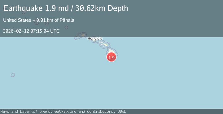
A 1.9 magnitude earthquake struck on 6 km SSW of Pāhala, Hawaii, at Thu, 12 Feb 2026 07:15:04 GMT. Depth: 30.6200008392334km. Reviewed by USGS seismologists, this minor quake occurred at a magnitude type of md.
Magnitude
1.9
md
Source
USGS
Intensity
-
Agency Reports
1 Sources| Source | Magnitude | Depth | Time |
|---|---|---|---|
| USGSPrimary | 1.9 | 31 km | 1 week ago |
Earthquake Details
AutomaticEvent IDusgs_hv74897942
Tsunami PotentialNo
Magnitude Typemd
Nearest Places
- Wailau Hawaiian Home Land1.6 km
- Puehu1.6 km
- Kaimuokanaka1.7 km
- Mohokea Iki1.7 km
- Kaneeleele Heiau2.0 km
Comments
Join the discussion about this event.
Latest Earthquakes
1.8Mag
8 km SSW of Dayton, Nevada
Time2 minutes ago
Depth2.65 km
SourceUSGS (Automatic)
1.4Mag
6 km SSW of Idyllwild, CA
Time8 minutes ago
Depth15.02 km
SourceUSGS (Automatic)
2.4Mag
western Texas
Time9 minutes ago
Depth6.10 km
SourceVYT (Automatic)
2.8Mag
Southern Alaska
Time12 minutes ago
Depth14.04 km
SourceVYT (Automatic)
2.4Mag
Southern Alaska
Time14 minutes ago
Depth139.28 km
SourceVYT (Automatic)
Nearby Earthquakes
2.3Mag
5 km SSW of Pāhala, Hawaii
Time4 days ago
Depth33.88 km
SourceUSGS (Automatic)
2.0Mag
ISLAND OF HAWAII, HAWAII
Time1 month ago
Depth32.00 km
SourceHV (Automatic)
4.0Mag
ISLAND OF HAWAII, HAWAII
Time3 years ago
Depth14.00 km
SourceNEIC (Automatic)
2.8Mag
ISLAND OF HAWAII, HAWAII
Time1 month ago
Depth31.90 km
SourceHV (Automatic)
3.0Mag
ISLAND OF HAWAII, HAWAII
Time4 years ago
Depth32.00 km
SourceNEIR (Automatic)