Earthquake 20 km SE of Pāhala, Hawaii
Thu, 12 Feb 2026 22:04:11 GMT
Time1 week ago
Location
19.0548, -155.3697
Depth
34.2 KM
Event Summary
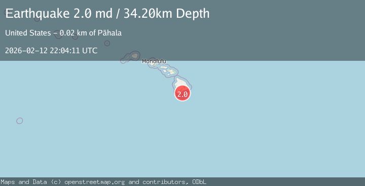
A 2.0 magnitude earthquake struck on 20 km SE of Pāhala, Hawaii, at Thu, 12 Feb 2026 22:04:11 GMT. Depth: 34.2000007629395km. Reviewed by USGS seismologists, this minor quake occurred at a magnitude type of md.
Magnitude
2.0
md
Source
USGS
Intensity
-
Agency Reports
1 Sources| Source | Magnitude | Depth | Time |
|---|---|---|---|
| USGSPrimary | 2.0 | 34 km | 1 week ago |
Earthquake Details
AutomaticEvent IDusgs_hv74898232
Tsunami PotentialNo
Magnitude Typemd
Nearest Places
- Ahole Heiau12.2 km
- Papau Seamount12.8 km
- Palima Point13.5 km
- Waioala Spring13.6 km
- Pueo13.8 km
Comments
Join the discussion about this event.
Latest Earthquakes
1.7Mag
STRAIT OF GIBRALTAR
Time10 minutes ago
Depth15.80 km
SourceIGN (Automatic)
3.2Mag
Croatia-Bosnia and Herzegovina border region
Time13 minutes ago
Depth63.84 km
SourceVYT (Automatic)
1.0Mag
Southern Alaska
Time18 minutes ago
Depth13.43 km
SourceVYT (Automatic)
2.7Mag
Southeastern Alaska
Time19 minutes ago
Depth138.92 km
SourceVYT (Automatic)
1.7Mag
8 km ENE of Calumet, Oklahoma
Time19 minutes ago
Depth6.03 km
SourceUSGS (Automatic)
Nearby Earthquakes
1.8Mag
20 km SE of Pāhala, Hawaii
Time4 days ago
Depth30.42 km
SourceUSGS (Automatic)
2.0Mag
ISLAND OF HAWAII, HAWAII
Time1 week ago
Depth32.70 km
SourceHV (Automatic)
1.8Mag
20 km SSE of Pāhala, Hawaii
Time6 days ago
Depth33.45 km
SourceUSGS (Automatic)
2.4Mag
ISLAND OF HAWAII, HAWAII
Time6 days ago
Depth33.40 km
SourceHV (Automatic)
1.8Mag
21 km SSE of Pāhala, Hawaii
Time5 days ago
Depth31.08 km
SourceUSGS (Automatic)