Earthquake 20 km SE of Pāhala, Hawaii
Fri, 13 Feb 2026 06:32:08 GMT
Time6 days ago
Location
19.0710, -155.3440
Depth
35.6 KM
Event Summary
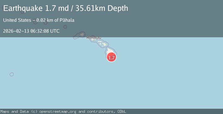
A 1.7 magnitude earthquake struck on 20 km SE of Pāhala, Hawaii, at Fri, 13 Feb 2026 06:32:08 GMT. Depth: 35.6100006103516km. Reviewed by USGS seismologists, this minor quake occurred at a magnitude type of md.
Magnitude
1.7
md
Source
USGS
Intensity
-
Agency Reports
1 Sources| Source | Magnitude | Depth | Time |
|---|---|---|---|
| USGSPrimary | 1.7 | 36 km | 6 days ago |
Earthquake Details
AutomaticEvent IDusgs_hv74898457
Tsunami PotentialNo
Magnitude Typemd
Nearest Places
- Papau Seamount9.6 km
- Ahole Heiau12.9 km
- Waiapele Bay14.0 km
- Palima Point14.0 km
- Pueo14.2 km
Comments
Join the discussion about this event.
Latest Earthquakes
3.1Mag
northern Colombia
Time22 hours ago
Depth219.97 km
SourceVYT (Automatic)
2.1Mag
Sumbawa Region, Indonesia
Time22 hours ago
Depth10.00 km
SourceBMKG
1.3Mag
WESTERN TURKEY
Time22 hours ago
Depth9.30 km
SourceAFAD (Automatic)
4.3Mag
east of Australia
Time22 hours ago
Depth10.00 km
SourceVYT (Automatic)
2.6Mag
Ceram Sea
Time22 hours ago
Depth31.11 km
SourceBMKG
Nearby Earthquakes
2.2Mag
ISLAND OF HAWAII, HAWAII
Time1 month ago
Depth33.30 km
SourceHV (Automatic)
2.5Mag
ISLAND OF HAWAII, HAWAII
Time1 week ago
Depth34.20 km
SourceHV (Automatic)
2.0Mag
ISLAND OF HAWAII, HAWAII
Time1 week ago
Depth32.90 km
SourceHV (Automatic)
2.0Mag
ISLAND OF HAWAII, HAWAII
Time1 week ago
Depth32.70 km
SourceHV (Automatic)
2.1Mag
ISLAND OF HAWAII, HAWAII
Time1 month ago
Depth33.00 km
SourceHV (Automatic)