Earthquake 10 km SSE of Pāhala, Hawaii
Fri, 13 Feb 2026 08:54:37 GMT
Time6 days ago
Location
19.1183, -155.4447
Depth
27.7 KM
Event Summary
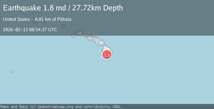
A 1.8 magnitude earthquake struck on 10 km SSE of Pāhala, Hawaii, at Fri, 13 Feb 2026 08:54:37 GMT. Depth: 27.7199993133545km. Reviewed by USGS seismologists, this minor quake occurred at a magnitude type of md.
Magnitude
1.8
md
Source
USGS
Intensity
-
Agency Reports
1 Sources| Source | Magnitude | Depth | Time |
|---|---|---|---|
| USGSPrimary | 1.8 | 28 km | 6 days ago |
Earthquake Details
AutomaticEvent IDusgs_hv74898507
Tsunami PotentialNo
Magnitude Typemd
Nearest Places
- Ahole Heiau2.4 km
- Pu‘upili3.5 km
- Waioala Spring3.6 km
- Kamehame Beach3.7 km
- Kamehame Hill3.7 km
Comments
Join the discussion about this event.
Latest Earthquakes
3.1Mag
Bali Region, Indonesia
Time16 hours ago
Depth19.14 km
SourceBMKG
2.7Mag
Coquimbo, Chile
Time16 hours ago
Depth14.16 km
SourceVYT (Automatic)
1.7Mag
Southeastern Alaska
Time16 hours ago
Depth5.98 km
SourceVYT (Automatic)
2.1Mag
Tarapaca, Chile
Time16 hours ago
Depth110.35 km
SourceVYT (Automatic)
2.7Mag
Minahassa Peninsula, Sulawesi
Time16 hours ago
Depth114.15 km
SourceBMKG
Nearby Earthquakes
1.7Mag
10 km SSE of Pāhala, Hawaii
Time1 week ago
Depth40.41 km
SourceUSGS (Automatic)
3.0Mag
ISLAND OF HAWAII, HAWAII
Time4 years ago
Depth0.00 km
SourceNEIR (Automatic)
4.0Mag
ISLAND OF HAWAII, HAWAII
Time1 year ago
Depth35.00 km
SourceNEIC (Automatic)
3.0Mag
ISLAND OF HAWAII, HAWAII
Time6 years ago
Depth3.00 km
SourceNEIR (Automatic)
2.0Mag
ISLAND OF HAWAII, HAWAII
Time1 month ago
Depth33.20 km
SourceHV (Automatic)