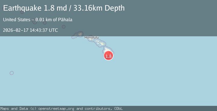
Earthquake 13 km E of Pāhala, Hawaii
Tue, 17 Feb 2026 14:43:37 GMT
Time21 hours ago
Location
19.1840, -155.3522
Depth
33.2 KM
Event Summary
A 1.8 magnitude earthquake struck on 13 km E of Pāhala, Hawaii, at Tue, 17 Feb 2026 14:43:37 GMT. Depth: 33.1599998474121km. Reviewed by USGS seismologists, this minor quake occurred at a magnitude type of md.
Magnitude
1.8
md
Source
USGS
Intensity
-
Agency Reports
1 Sources| Source | Magnitude | Depth | Time |
|---|---|---|---|
| USGSPrimary | 1.8 | 33 km | 21 hours ago |
Earthquake Details
AutomaticEvent IDusgs_hv74901247
Tsunami PotentialNo
Magnitude Typemd
Nearest Places
- Papalehau Point2.7 km
- Nali‘ikakani Point3.5 km
- Waiwelawela Point4.1 km
- Kū‘ē‘ē Ruins4.1 km
- Laahana4.7 km
Comments
Join the discussion about this event.
Latest Earthquakes
2.3Mag
Poland
Time16 hours ago
Depth0.00 km
SourceVYT (Automatic)
1.9Mag
3 km SSW of Anderson Springs, CA
Time16 hours ago
Depth1.58 km
SourceUSGS (Automatic)
1.6Mag
41 km WNW of Mentone, Texas
Time16 hours ago
Depth0.00 km
SourceUSGS (Automatic)
1.0Mag
5 km WNW of Cobb, CA
Time16 hours ago
Depth2.12 km
SourceUSGS (Automatic)
1.9Mag
Poland
Time16 hours ago
Depth0.00 km
SourceVYT (Automatic)
Nearby Earthquakes
2.0Mag
13 km E of Pāhala, Hawaii
Time1 week ago
Depth27.29 km
SourceUSGS (Automatic)
2.3Mag
ISLAND OF HAWAII, HAWAII
Time1 week ago
Depth30.10 km
SourceHV (Automatic)
2.2Mag
ISLAND OF HAWAII, HAWAII
Time3 weeks ago
Depth30.10 km
SourceHV (Automatic)
2.5Mag
ISLAND OF HAWAII, HAWAII
Time1 month ago
Depth30.90 km
SourceHV (Automatic)
2.1Mag
ISLAND OF HAWAII, HAWAII
Time1 month ago
Depth29.90 km
SourceHV (Automatic)