Earthquake 13 km E of Pāhala, Hawaii
Mon, 09 Feb 2026 09:18:35 GMT
Time1 hour ago
Location
19.1835, -155.3550
Depth
27.3 KM
Event Summary
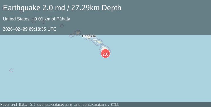
A 2.0 magnitude earthquake struck on 13 km E of Pāhala, Hawaii, at Mon, 09 Feb 2026 09:18:35 GMT. Depth: 27.2900009155273km. Reviewed by USGS seismologists, this minor quake occurred at a magnitude type of md.
Magnitude
2.0
md
Source
USGS
Intensity
-
Agency Reports
1 Sources| Source | Magnitude | Depth | Time |
|---|---|---|---|
| USGSPrimary | 2.0 | 27 km | 1 hour ago |
Earthquake Details
AutomaticEvent IDusgs_hv74896847
Tsunami PotentialNo
Magnitude Typemd
Nearest Places
- Papalehau Point2.6 km
- Nali‘ikakani Point3.6 km
- Waiwelawela Point3.9 km
- Kū‘ē‘ē Ruins3.9 km
- Laahana4.5 km
Comments
Join the discussion about this event.
Latest Earthquakes
1.7Mag
STRAIT OF GIBRALTAR
Time1 hour ago
Depth0.00 km
SourceIGN (Automatic)
0.8Mag
10 km WNW of The Geysers, CA
Time1 hour ago
Depth2.64 km
SourceUSGS (Automatic)
3.8Mag
North of Halmahera, Indonesia
Time1 hour ago
Depth151.96 km
SourceBMKG (Automatic)
2.5Mag
Java, Indonesia
Time1 hour ago
Depth19.47 km
SourceBMKG (Automatic)
2.2Mag
Sumba Region, Indonesia
Time1 hour ago
Depth2.21 km
SourceBMKG (Automatic)
Nearby Earthquakes
2.2Mag
ISLAND OF HAWAII, HAWAII
Time1 week ago
Depth30.10 km
SourceHV (Automatic)
2.0Mag
ISLAND OF HAWAII, HAWAII
Time3 days ago
Depth42.50 km
SourceHV (Automatic)
1.8Mag
14 km ESE of Pāhala, Hawaii
Time1 week ago
Depth28.57 km
SourceUSGS (Automatic)
3.2Mag
13 km ESE of Pāhala, Hawaii
Time2 weeks ago
Depth29.62 km
SourceUSGS
2.1Mag
14 km ESE of Pāhala, Hawaii
Time1 week ago
Depth29.30 km
SourceUSGS (Automatic)