Earthquake 11 km NE of Pāhala, Hawaii
Sat, 21 Feb 2026 12:42:38 GMT
Time1 hour ago
Location
19.2683, -155.3913
Depth
28.6 KM
Event Summary
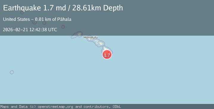
A 1.7 magnitude earthquake struck on 11 km NE of Pāhala, Hawaii, at Sat, 21 Feb 2026 12:42:38 GMT. Depth: 28.6100006103516km. Reviewed by USGS seismologists, this minor quake occurred at a magnitude type of md.
Magnitude
1.7
md
Source
USGS
Intensity
-
Agency Reports
1 Sources| Source | Magnitude | Depth | Time |
|---|---|---|---|
| USGSPrimary | 1.7 | 29 km | 1 hour ago |
Earthquake Details
AutomaticEvent IDusgs_hv74904581
Tsunami PotentialNo
Magnitude Typemd
Nearest Places
- 1.6 km
- 1.9 km
- 2.2 km
- 2.9 km
- 3.1 km
Comments
Join the discussion about this event.
Latest Earthquakes
3.6Mag
near the coast of Antofagasta, Chile
Time55 minutes ago
Depth21.73 km
SourceVYT (Automatic)
4.6Mag
Hungary
Time1 hour ago
Depth11.23 km
SourceVYT (Automatic)
2.5Mag
Alaska Peninsula
Time1 hour ago
Depth4.27 km
SourceVYT (Automatic)
3.1Mag
KERMADEC ISLANDS REGION
Time1 hour ago
Depth449.70 km
SourceGNS (Automatic)
2.5Mag
Java, Indonesia
Time1 hour ago
Depth59.75 km
SourceBMKG
Nearby Earthquakes
2.0Mag
ISLAND OF HAWAII, HAWAII
Time3 hours ago
Depth28.40 km
SourceHV (Automatic)
3.0Mag
ISLAND OF HAWAII, HAWAII
Time2 years ago
Depth35.80 km
SourceNEIC (Automatic)
3.0Mag
ISLAND OF HAWAII, HAWAII
Time3 years ago
Depth35.00 km
SourceNEIC (Automatic)
2.2Mag
ISLAND OF HAWAII, HAWAII
Time2 weeks ago
Depth30.80 km
SourceHV (Automatic)
3.0Mag
ISLAND OF HAWAII, HAWAII
Time4 years ago
Depth37.00 km
SourceNEIC (Automatic)