Earthquake 21 km SSE of Pāhala, Hawaii
Mon, 23 Feb 2026 17:53:48 GMT
Time1 hour ago
Location
19.0363, -155.3688
Depth
34.7 KM
Event Summary
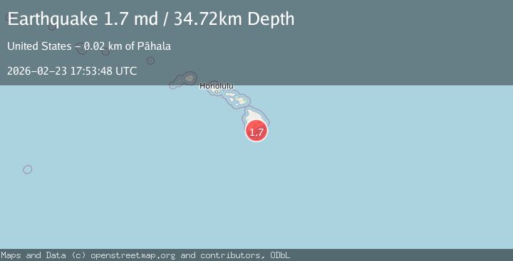
A 1.7 magnitude earthquake struck on 21 km SSE of Pāhala, Hawaii, at Mon, 23 Feb 2026 17:53:48 GMT. Depth: 34.7200012207031km. Reviewed by USGS seismologists, this minor quake occurred at a magnitude type of md.
Magnitude
1.7
md
Source
USGS
Intensity
-
Agency Reports
1 Sources| Source | Magnitude | Depth | Time |
|---|---|---|---|
| USGSPrimary | 1.7 | 35 km | 1 hour ago |
Earthquake Details
AutomaticEvent IDusgs_hv74906751
Tsunami PotentialNo
Magnitude Typemd
Nearest Places
- 13.9 km
- 14.0 km
- 15.2 km
- 15.3 km
- 15.5 km
Comments
Join the discussion about this event.
Latest Earthquakes
3.7Mag
northern Sumatra, Indonesia
Time48 minutes ago
Depth0.00 km
SourceVYT (Automatic)
2.5Mag
Southern Alaska
Time49 minutes ago
Depth8.18 km
SourceVYT (Automatic)
1.7Mag
15 km SE of Pleasanton, Texas
Time53 minutes ago
Depth14.54 km
SourceUSGS (Automatic)
1.3Mag
5 km WNW of The Geysers, CA
Time54 minutes ago
Depth3.31 km
SourceUSGS (Automatic)
3.0Mag
Central California
Time55 minutes ago
Depth0.00 km
SourceVYT (Automatic)
Nearby Earthquakes
2.0Mag
21 km SSE of Pāhala, Hawaii
Time1 month ago
Depth30.78 km
SourceUSGS (Automatic)
1.7Mag
21 km SSE of Pāhala, Hawaii
Time2 days ago
Depth35.71 km
SourceUSGS (Automatic)
1.8Mag
21 km SSE of Pāhala, Hawaii
Time1 week ago
Depth31.08 km
SourceUSGS (Automatic)
1.9Mag
21 km SE of Pāhala, Hawaii
Time1 week ago
Depth30.18 km
SourceUSGS (Automatic)
1.7Mag
21 km SSE of Pāhala, Hawaii
Time1 hour ago
Depth30.72 km
SourceUSGS (Automatic)