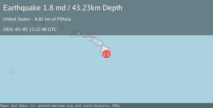
Earthquake 17 km E of Pāhala, Hawaii
Thu, 05 Mar 2026 13:22:40 GMT
Time2 hours ago
Location
19.2045, -155.3118
Depth
43.2 KM
Event Summary
A 1.8 magnitude earthquake struck on 17 km E of Pāhala, Hawaii, at Thu, 05 Mar 2026 13:22:40 GMT. Depth: 43.2299995422363km. Reviewed by USGS seismologists, this minor quake occurred at a magnitude type of md.
Magnitude
1.8
md
Source
USGS
Intensity
-
Agency Reports
1 Sources| Source | Magnitude | Depth | Time |
|---|---|---|---|
| USGSPrimary | 1.8 | 43 km | 2 hours ago |
Earthquake Details
AutomaticEvent IDusgs_hv74913361
Tsunami PotentialNo
Magnitude Typemd
Nearest Places
- 3.9 km
- 4.1 km
- 4.1 km
- 4.5 km
- 5.4 km
Comments
Join the discussion about this event.
Latest Earthquakes
1.4Mag
Alaska Peninsula
Time48 minutes ago
Depth0.00 km
SourceVYT (Automatic)
2.3Mag
Seram, Indonesia
Time50 minutes ago
Depth5.00 km
SourceBMKG
1.8Mag
Kenai Peninsula, Alaska
Time54 minutes ago
Depth42.72 km
SourceVYT (Automatic)
2.9Mag
northern Colombia
Time54 minutes ago
Depth253.91 km
SourceVYT (Automatic)
2.2Mag
Central California
Time56 minutes ago
Depth15.99 km
SourceVYT (Automatic)
Nearby Earthquakes
3.0Mag
ISLAND OF HAWAII, HAWAII
Time7 years ago
Depth1.00 km
SourceNEIR (Automatic)
3.0Mag
ISLAND OF HAWAII, HAWAII
Time7 years ago
Depth0.00 km
SourceNEIC (Automatic)
1.9Mag
17 km E of Pāhala, Hawaii
Time1 month ago
Depth26.31 km
SourceUSGS (Automatic)
2.0Mag
ISLAND OF HAWAII, HAWAII
Time3 weeks ago
Depth42.50 km
SourceHV (Automatic)
1.9Mag
20 km E of Pāhala, Hawaii
Time2 weeks ago
Depth42.52 km
SourceUSGS (Automatic)