Earthquake 17 km E of Pāhala, Hawaii
Sat, 31 Jan 2026 18:27:12 GMT
Time1 hour ago
Location
19.2320, -155.3193
Depth
26.3 KM
Event Summary
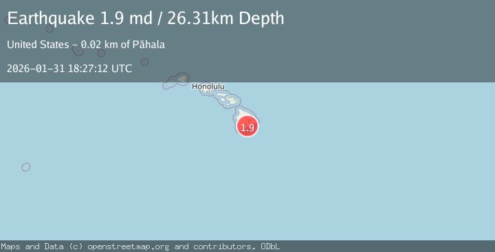
A 1.9 magnitude earthquake struck on 17 km E of Pāhala, Hawaii, at Sat, 31 Jan 2026 18:27:12 GMT. Depth: 26.3099994659424km. Reviewed by USGS seismologists, this minor quake occurred at a magnitude type of md.
Magnitude
1.9
md
Source
USGS
Intensity
-
Agency Reports
1 Sources| Source | Magnitude | Depth | Time |
|---|---|---|---|
| USGSPrimary | 1.9 | 26 km | 1 hour ago |
Earthquake Details
AutomaticEvent IDusgs_hv74891717
Tsunami PotentialNo
Magnitude Typemd
Nearest Places
- ‘Opihinehe1.0 km
- Na Puu o na Elemakule1.4 km
- Nāpu‘uonā‘elemākule1.7 km
- Ka‘ū Trail3.2 km
- Hawai'i Volcanoes Wilderness3.2 km
Comments
Join the discussion about this event.
Latest Earthquakes
4.4Mag
Near North Coast of West Papua
Time8 minutes ago
Depth70.10 km
SourceBMKG (Automatic)
2.4Mag
Northern Sumatra, Indonesia
Time10 minutes ago
Depth5.00 km
SourceBMKG (Automatic)
2.6Mag
GREECE
Time16 minutes ago
Depth8.60 km
SourceNOA (Automatic)
2.4Mag
Savu Sea
Time26 minutes ago
Depth109.71 km
SourceBMKG (Automatic)
1.6Mag
94 km WNW of Yakutat, Alaska
Time28 minutes ago
Depth22.60 km
SourceUSGS (Automatic)
Nearby Earthquakes
2.0Mag
15 km ENE of Pāhala, Hawaii
Time1 day ago
Depth47.15 km
SourceUSGS (Automatic)
1.7Mag
22 km E of Pāhala, Hawaii
Time1 week ago
Depth42.17 km
SourceUSGS (Automatic)
2.1Mag
ISLAND OF HAWAII, HAWAII
Time1 week ago
Depth30.30 km
SourceHV (Automatic)
2.2Mag
ISLAND OF HAWAII, HAWAII
Time3 days ago
Depth30.10 km
SourceHV (Automatic)
2.0Mag
ISLAND OF HAWAII, HAWAII
Time1 week ago
Depth32.60 km
SourceHV (Automatic)