Earthquake 12 km SE of Coalinga, CA
Thu, 01 Jan 2026 18:58:41 GMT
Time1 hour ago
Location
36.0610, -120.2707
Depth
8.0 KM
Event Summary
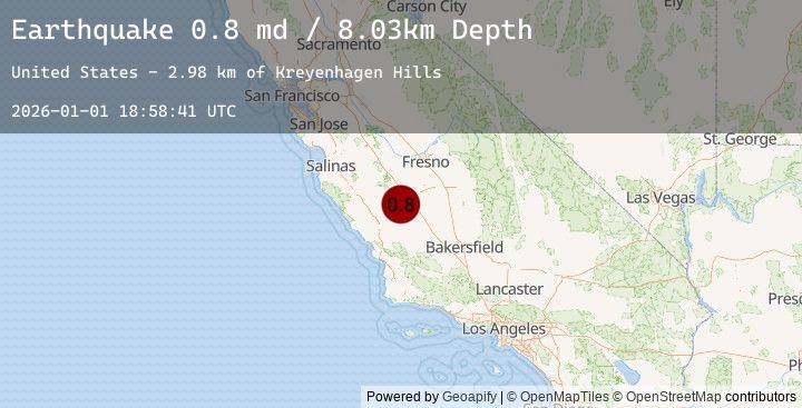
A 0.8 magnitude earthquake struck on 12 km SE of Coalinga, CA, at Thu, 01 Jan 2026 18:58:41 GMT. Depth: 8.02999973297119km. Reviewed by USGS seismologists, this minor quake occurred at a magnitude type of md.
Magnitude
0.8
md
Source
USGS
Intensity
-
Agency Reports
1 Sources| Source | Magnitude | Depth | Time |
|---|---|---|---|
| USGSPrimary | 0.8 | 8 km | 1 hour ago |
Earthquake Details
AutomaticEvent IDusgs_nc75289746
Tsunami PotentialNo
Magnitude Typemd
Nearest Places
- Kreyenhagen Hills3.0 km
- Mantes Canyon3.0 km
- Kreyenhagen Ranch3.5 km
- Zapato Chino Canyon3.6 km
- Garcia Canyon3.6 km
Comments
Join the discussion about this event.
Latest Earthquakes
2.7Mag
WESTERN TEXAS
Time44 minutes ago
Depth3.80 km
SourceTX (Automatic)
1.8Mag
22 km NNW of Tatitlek, Alaska
Time44 minutes ago
Depth18.70 km
SourceUSGS (Automatic)
2.3Mag
Sumbawa Region, Indonesia
Time55 minutes ago
Depth76.42 km
SourceBMKG (Automatic)
1.9Mag
15 km S of Tres Pinos, CA
Time56 minutes ago
Depth3.01 km
SourceUSGS (Automatic)
4.6Mag
Northern Molucca Sea
Time1 hour ago
Depth71.15 km
SourceBMKG (Automatic)