Earthquake 11 km NW of The Geysers, CA
Sat, 10 Jan 2026 05:27:49 GMT
Time2 days ago
Location
38.8487, -122.8515
Depth
0.9 KM
Event Summary
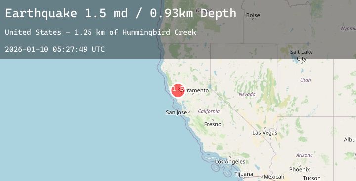
A 1.5 magnitude earthquake struck on 11 km NW of The Geysers, CA, at Sat, 10 Jan 2026 05:27:49 GMT. Depth: 0.930000007152557km. Reviewed by USGS seismologists, this minor quake occurred at a magnitude type of md.
Magnitude
1.5
md
Source
USGS
Intensity
-
Agency Reports
4 Sources| Source | Magnitude | Depth | Time |
|---|---|---|---|
| USGSPrimary | 0.8 | 1 km | 2 days ago |
| USGSPrimary | 1.5 | 1 km | 2 days ago |
| USGSPrimary | 0.7 | 1 km | 2 days ago |
| USGSPrimary | 1.2 | 1 km | 2 days ago |
Earthquake Details
AutomaticEvent IDusgs_nc75293386
Tsunami PotentialNo
Magnitude Typemd
Nearest Places
- Hummingbird Creek1.3 km
- Wildhorse Creek1.4 km
- Mahnke Peak1.6 km
- Alder Creek2.1 km
- Caldwell Ranch2.3 km
Comments
Join the discussion about this event.
Latest Earthquakes
3.1Mag
Halmahera, Indonesia
Time2 days ago
Depth7.78 km
SourceBMKG (Automatic)
3.5Mag
MENDOZA, ARGENTINA
Time2 days ago
Depth5.60 km
SourceCSN (Automatic)
2.7Mag
Java, Indonesia
Time2 days ago
Depth34.99 km
SourceBMKG (Automatic)
1.0Mag
3 km SW of Anderson Springs, CA
Time2 days ago
Depth1.85 km
SourceUSGS (Automatic)
2.8Mag
Minahassa Peninsula, Sulawesi
Time2 days ago
Depth262.99 km
SourceBMKG (Automatic)
Nearby Earthquakes
1.0Mag
3 km SW of Anderson Springs, CA
Time2 days ago
Depth1.85 km
SourceUSGS (Automatic)
1.8Mag
6 km NW of The Geysers, CA
Time2 days ago
Depth2.72 km
SourceUSGS (Automatic)
1.0Mag
9 km NW of The Geysers, CA
Time2 days ago
Depth3.50 km
SourceUSGS (Automatic)
1.2Mag
8 km NW of The Geysers, CA
Time2 days ago
Depth2.03 km
SourceUSGS (Automatic)
0.8Mag
9 km WNW of Cobb, CA
Time2 days ago
Depth2.05 km
SourceUSGS (Automatic)