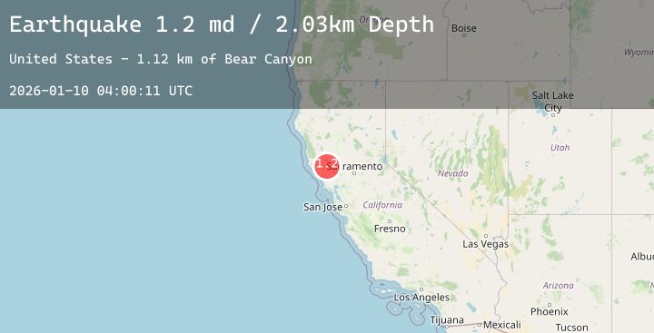
Earthquake 8 km NW of The Geysers, CA
Sat, 10 Jan 2026 04:00:11 GMT
Time2 days ago
Location
38.8343, -122.8187
Depth
2.0 KM
Event Summary
A 1.2 magnitude earthquake struck on 8 km NW of The Geysers, CA, at Sat, 10 Jan 2026 04:00:11 GMT. Depth: 2.02999997138977km. Reviewed by USGS seismologists, this minor quake occurred at a magnitude type of md.
Magnitude
1.2
md
Source
USGS
Intensity
-
Agency Reports
4 Sources| Source | Magnitude | Depth | Time |
|---|---|---|---|
| USGSPrimary | 0.7 | 2 km | 2 days ago |
| USGSPrimary | 1.2 | 1 km | 2 days ago |
| USGSPrimary | 0.3 | 2 km | 2 days ago |
| USGSPrimary | 0.5 | 2 km | 2 days ago |
Earthquake Details
AutomaticEvent IDusgs_nc75293346
Tsunami PotentialNo
Magnitude Typemd
Nearest Places
- Coldwater Canyon0.7 km
- Bear Canyon0.8 km
- Caldwell Ranch1.1 km
- Black Oaks1.3 km
- Caldwell Pines1.5 km
Comments
Join the discussion about this event.
Latest Earthquakes
3.4Mag
Northern Sumatra, Indonesia
Time1 day ago
Depth4.73 km
SourceBMKG (Automatic)
1.2Mag
26 km SSW of Ocotillo Wells, CA
Time1 day ago
Depth8.79 km
SourceUSGS (Automatic)
6.8Mag
Talaud Islands, Indonesia
Time1 day ago
Depth20.89 km
SourceBMKG (Automatic)
2.0Mag
Bali Region, Indonesia
Time1 day ago
Depth27.69 km
SourceBMKG (Automatic)
1.4Mag
CENTRAL TURKEY
Time1 day ago
Depth7.00 km
SourceAFAD (Automatic)
Nearby Earthquakes
1.6Mag
8 km SE of Lake Pillsbury, CA
Time1 day ago
Depth7.72 km
SourceUSGS (Automatic)
0.8Mag
3 km NE of The Geysers, CA
Time2 days ago
Depth1.61 km
SourceUSGS (Automatic)
1.4Mag
12 km NNW of Angwin, CA
Time2 days ago
Depth6.92 km
SourceUSGS (Automatic)
1.0Mag
3 km SW of Anderson Springs, CA
Time2 days ago
Depth1.85 km
SourceUSGS (Automatic)
1.8Mag
6 km NW of The Geysers, CA
Time2 days ago
Depth2.72 km
SourceUSGS (Automatic)