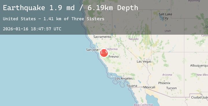
Earthquake 13 km NNE of Tres Pinos, CA
Fri, 16 Jan 2026 18:47:57 GMT
Time1 hour ago
Location
36.8905, -121.2410
Depth
6.2 KM
Event Summary
A 1.9 magnitude earthquake struck on 13 km NNE of Tres Pinos, CA, at Fri, 16 Jan 2026 18:47:57 GMT. Depth: 6.19000005722046km. Reviewed by USGS seismologists, this minor quake occurred at a magnitude type of md.
Magnitude
1.9
md
Source
USGS
Intensity
-
Agency Reports
1 Sources| Source | Magnitude | Depth | Time |
|---|---|---|---|
| USGSPrimary | 1.9 | 6 km | 1 hour ago |
Earthquake Details
AutomaticEvent IDusgs_nc75296641
Tsunami PotentialNo
Magnitude Typemd
Nearest Places
- Three Sisters1.4 km
- Henrietta Peak1.7 km
- San Joaquin Peak2.4 km
- Santa Ana Mountain2.5 km
- Rancho Las Cimas2.5 km
Comments
Join the discussion about this event.
Latest Earthquakes
1.1Mag
10 km WNW of The Geysers, CA
Time2 minutes ago
Depth2.38 km
SourceUSGS (Automatic)
1.6Mag
8 km E of El Centro, CA
Time14 minutes ago
Depth6.75 km
SourceUSGS (Automatic)
2.6Mag
TARAPACA, CHILE
Time29 minutes ago
Depth115.60 km
SourceCSN (Automatic)
3.0Mag
South of Sumbawa, Indonesia
Time34 minutes ago
Depth10.00 km
SourceBMKG (Automatic)
1.3Mag
5 km SE of Loma Linda, CA
Time34 minutes ago
Depth16.27 km
SourceUSGS (Automatic)