Earthquake 10 km WNW of The Geysers, CA
Fri, 16 Jan 2026 20:30:07 GMT
Time1 hour ago
Location
38.8223, -122.8522
Depth
2.4 KM
Event Summary
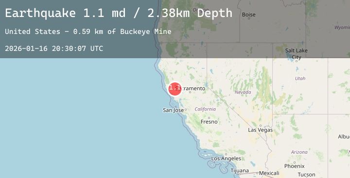
A 1.3 magnitude earthquake struck on 10 km WNW of The Geysers, CA, at Fri, 16 Jan 2026 20:30:07 GMT. Depth: 2.38000011444092km. Reviewed by USGS seismologists, this minor quake occurred at a magnitude type of md.
Magnitude
1.3
md
Source
USGS
Intensity
-
Agency Reports
4 Sources| Source | Magnitude | Depth | Time |
|---|---|---|---|
| USGSPrimary | 1.1 | 2 km | 1 hour ago |
| USGSPrimary | 1.3 | 2 km | 1 hour ago |
| USGSPrimary | 0.7 | 18 km | 1 hour ago |
| USGSPrimary | 1.1 | 2 km | 1 hour ago |
Earthquake Details
AutomaticEvent IDusgs_nc75296681
Tsunami PotentialNo
Magnitude Typemd
Nearest Places
- Buckeye Mine0.5 km
- Truitt Creek1.1 km
- Truitt Ranch1.7 km
- Cloverdale Mine Headquarters1.7 km
- Hummingbird Creek1.9 km
Comments
Join the discussion about this event.
Latest Earthquakes
3.0Mag
Timor Region
Time6 minutes ago
Depth143.13 km
SourceBMKG (Automatic)
5.2Mag
Near North Coast of Papua New Guinea
Time10 minutes ago
Depth92.63 km
SourceBMKG (Automatic)
1.5Mag
1 km WNW of Spring Valley, Nevada
Time16 minutes ago
Depth15.77 km
SourceUSGS (Automatic)
3.1Mag
NEAR EAST COAST OF HONSHU, JAPAN
Time27 minutes ago
Depth60.00 km
SourceJMA (Automatic)
2.5Mag
23 km W of Cohoe, Alaska
Time34 minutes ago
Depth71.70 km
SourceUSGS (Automatic)
Nearby Earthquakes
1.0Mag
4 km W of Cobb, CA
Time3 hours ago
Depth1.96 km
SourceUSGS (Automatic)
1.8Mag
11 km ESE of Willits, CA
Time5 hours ago
Depth6.40 km
SourceUSGS (Automatic)
1.1Mag
4 km NNW of The Geysers, CA
Time7 hours ago
Depth2.58 km
SourceUSGS (Automatic)
1.4Mag
12 km ESE of Willits, CA
Time8 hours ago
Depth7.21 km
SourceUSGS (Automatic)
1.5Mag
18 km W of Winters, CA
Time9 hours ago
Depth6.38 km
SourceUSGS (Automatic)