Earthquake 132 km WSW of Crescent City, CA
Tue, 20 Jan 2026 17:24:34 GMT
Time6 days ago
Location
41.4948, -125.7555
Depth
1.9 KM
Event Summary
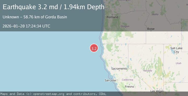
A 3.2 magnitude earthquake struck on 132 km WSW of Crescent City, CA, at Tue, 20 Jan 2026 17:24:34 GMT. Depth: 1.94000005722046km. Reviewed by USGS seismologists, this minor quake occurred at a magnitude type of md.
Magnitude
3.2
md
Source
USGS
Intensity
-
Agency Reports
1 Sources| Source | Magnitude | Depth | Time |
|---|---|---|---|
| USGSPrimary | 3.2 | 2 km | 6 days ago |
Earthquake Details
AutomaticEvent IDusgs_nc75298836
Tsunami PotentialNo
Magnitude Typemd
Nearest Places
- Gorda Basin58.7 km
- Trinidad Canyon86.0 km
- Eel Fan101.6 km
- Gorda Ridge107.3 km
- Mansfield Break120.7 km
Comments
Join the discussion about this event.
Latest Earthquakes
2.6Mag
Minahassa Peninsula, Sulawesi
Time18 hours ago
Depth118.00 km
SourceBMKG (Automatic)
2.8Mag
South of Bali, Indonesia
Time18 hours ago
Depth10.00 km
SourceBMKG (Automatic)
1.7Mag
31 km SE of Denali National Park, Alaska
Time18 hours ago
Depth0.60 km
SourceUSGS (Automatic)
2.2Mag
WESTERN TURKEY
Time18 hours ago
Depth14.90 km
SourceKOERI (Automatic)
2.2Mag
13 km NW of Ferry, Alaska
Time18 hours ago
Depth139.50 km
SourceUSGS (Automatic)
Nearby Earthquakes
4.5Mag
154 km W of Ferndale, California
Time5 days ago
Depth8.00 km
SourceUSGS (Automatic)
2.7Mag
OFFSHORE NORTHERN CALIFORNIA
Time4 days ago
Depth0.20 km
SourceNC (Automatic)
2.9Mag
86 km W of Petrolia, CA
Time23 hours ago
Depth20.24 km
SourceUSGS (Automatic)
2.7Mag
245 km W of Ferndale, California
Time1 week ago
Depth10.00 km
SourceUSGS
2.3Mag
22 km W of Petrolia, CA
Time1 day ago
Depth11.53 km
SourceUSGS (Automatic)