Earthquake 15 km NW of Parkfield, CA
Mon, 26 Jan 2026 02:46:29 GMT
Time1 day ago
Location
35.9920, -120.5532
Depth
3.5 KM
Event Summary
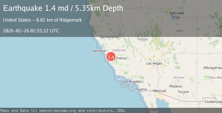
A 1.4 magnitude earthquake struck on 15 km NW of Parkfield, CA, at Mon, 26 Jan 2026 02:46:29 GMT. Depth: 3.45000004768372km. Reviewed by USGS seismologists, this minor quake occurred at a magnitude type of md.
Magnitude
1.4
md
Source
USGS
Intensity
-
Agency Reports
1 Sources| Source | Magnitude | Depth | Time |
|---|---|---|---|
| USGSPrimary | 1.4 | 5 km | 1 day ago |
Earthquake Details
AutomaticEvent IDusgs_nc75301761
Tsunami PotentialNo
Magnitude Typemd
Nearest Places
- Stockdale Mountain2.6 km
- Stone Canyon Mine2.8 km
- Stone Canyon3.4 km
- Sawmill Canyon4.1 km
- Wayland Creek4.4 km
Comments
Join the discussion about this event.
Latest Earthquakes
1.4Mag
41 km NW of Toyah, Texas
Time3 minutes ago
Depth2.74 km
SourceUSGS (Automatic)
2.0Mag
Sumbawa Region, Indonesia
Time8 minutes ago
Depth107.77 km
SourceBMKG (Automatic)
1.7Mag
26 km WNW of Ludlow, CA
Time12 minutes ago
Depth1.36 km
SourceUSGS (Automatic)
3.1Mag
HAITI REGION
Time14 minutes ago
Depth7.00 km
SourceAYIT (Automatic)
2.6Mag
PUERTO RICO
Time20 minutes ago
Depth16.10 km
SourcePR (Automatic)
Nearby Earthquakes
2.0Mag
CENTRAL CALIFORNIA
Time6 days ago
Depth2.90 km
SourceNC (Automatic)
0.8Mag
24 km E of San Ardo, CA
Time5 days ago
Depth-0.70 km
SourceUSGS (Automatic)
0.6Mag
12 km WSW of Parkfield, CA
Time4 days ago
Depth11.00 km
SourceUSGS (Automatic)
1.2Mag
Central California
Time1 week ago
Depth5.93 km
SourceUSGS (Automatic)
1.8Mag
6 km WNW of Coalinga, CA
Time4 days ago
Depth14.15 km
SourceUSGS (Automatic)