Earthquake 10 km WNW of The Geysers, CA
Tue, 27 Jan 2026 03:42:39 GMT
Time3 hours ago
Location
38.8272, -122.8538
Depth
2.4 KM
Event Summary
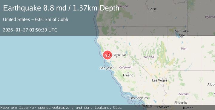
A 0.8 magnitude earthquake struck on 10 km WNW of The Geysers, CA, at Tue, 27 Jan 2026 03:42:39 GMT. Depth: 2.36999988555908km. Reviewed by USGS seismologists, this minor quake occurred at a magnitude type of md.
Magnitude
0.8
md
Source
USGS
Intensity
-
Agency Reports
1 Sources| Source | Magnitude | Depth | Time |
|---|---|---|---|
| USGSPrimary | 0.8 | 1 km | 3 hours ago |
Earthquake Details
AutomaticEvent IDusgs_nc75302381
Tsunami PotentialNo
Magnitude Typemd
Nearest Places
- Buckeye Mine0.6 km
- Hummingbird Creek1.4 km
- Alder Creek1.5 km
- Truitt Creek1.6 km
- Cloverdale Mine Headquarters1.7 km
Comments
Join the discussion about this event.
Latest Earthquakes
1.9Mag
5 km ESE of Pearsall, Texas
Time7 minutes ago
Depth8.84 km
SourceUSGS (Automatic)
3.9Mag
Minahassa Peninsula, Sulawesi
Time12 minutes ago
Depth203.73 km
SourceBMKG (Automatic)
2.6Mag
SUMBAWA REGION, INDONESIA
Time13 minutes ago
Depth184.00 km
SourceBMKG (Automatic)
1.5Mag
6 km SW of Gilroy, CA
Time15 minutes ago
Depth2.74 km
SourceUSGS (Automatic)
4.1Mag
OFFSHORE GUATEMALA
Time18 minutes ago
Depth10.00 km
SourceINET (Automatic)
Nearby Earthquakes
0.8Mag
10 km WNW of The Geysers, CA
Time2 days ago
Depth1.49 km
SourceUSGS (Automatic)
1.2Mag
10 km WNW of The Geysers, CA
Time2 days ago
Depth2.21 km
SourceUSGS (Automatic)
0.8Mag
10 km WNW of The Geysers, CA
Time1 day ago
Depth2.70 km
SourceUSGS (Automatic)
1.1Mag
9 km NW of The Geysers, CA
Time2 days ago
Depth1.99 km
SourceUSGS (Automatic)
0.7Mag
9 km WNW of The Geysers, CA
Time1 day ago
Depth2.32 km
SourceUSGS (Automatic)