Earthquake 10 km NW of The Geysers, CA
Wed, 28 Jan 2026 20:10:23 GMT
Time1 hour ago
Location
38.8382, -122.8350
Depth
1.5 KM
Event Summary
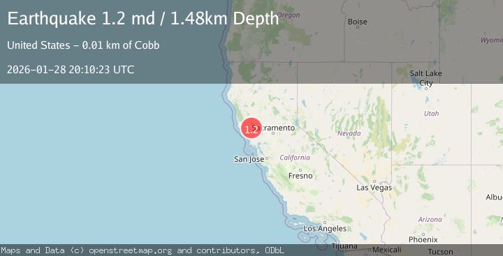
A 1.2 magnitude earthquake struck on 10 km NW of The Geysers, CA, at Wed, 28 Jan 2026 20:10:23 GMT. Depth: 1.48000001907349km. Reviewed by USGS seismologists, this minor quake occurred at a magnitude type of md.
Magnitude
1.2
md
Source
USGS
Intensity
-
Agency Reports
1 Sources| Source | Magnitude | Depth | Time |
|---|---|---|---|
| USGSPrimary | 1.2 | 1 km | 1 hour ago |
Earthquake Details
AutomaticEvent IDusgs_nc75303316
Tsunami PotentialNo
Magnitude Typemd
Nearest Places
- Wildhorse Creek0.6 km
- Black Oaks0.8 km
- Caldwell Ranch0.9 km
- Coldwater Canyon1.1 km
- Hummingbird Creek2.0 km
Comments
Join the discussion about this event.
Latest Earthquakes
1.5Mag
5 km ESE of Sunol, CA
Time5 minutes ago
Depth8.35 km
SourceUSGS (Automatic)
2.0Mag
Sulawesi, Indonesia
Time8 minutes ago
Depth11.05 km
SourceBMKG (Automatic)
1.6Mag
48 km S of Glacier View, Alaska
Time9 minutes ago
Depth20.60 km
SourceUSGS (Automatic)
2.1Mag
Sumbawa Region, Indonesia
Time10 minutes ago
Depth7.78 km
SourceBMKG (Automatic)
1.1Mag
10 km WNW of Cobb, CA
Time14 minutes ago
Depth2.43 km
SourceUSGS (Automatic)
Nearby Earthquakes
0.7Mag
10 km NW of The Geysers, CA
Time2 days ago
Depth1.16 km
SourceUSGS (Automatic)
1.6Mag
10 km NW of The Geysers, CA
Time6 days ago
Depth1.46 km
SourceUSGS (Automatic)
1.3Mag
9 km NW of The Geysers, CA
Time3 days ago
Depth1.92 km
SourceUSGS (Automatic)
0.5Mag
Northern California
Time6 days ago
Depth2.00 km
SourceUSGS (Automatic)
1.1Mag
10 km WNW of Cobb, CA
Time14 minutes ago
Depth2.43 km
SourceUSGS (Automatic)