Earthquake 48 km S of Glacier View, Alaska
Wed, 28 Jan 2026 21:31:37 GMT
Time1 hour ago
Location
61.3780, -147.8210
Depth
20.6 KM
Event Summary
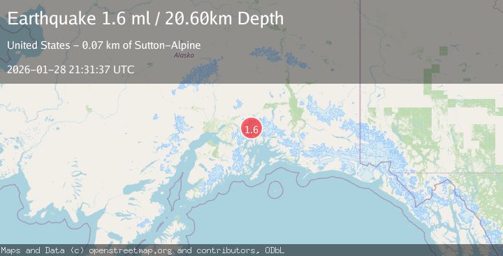
A 1.6 magnitude earthquake struck on 48 km S of Glacier View, Alaska, at Wed, 28 Jan 2026 21:31:37 GMT. Depth: 20.6km. Reviewed by USGS seismologists, this minor quake occurred at a magnitude type of ml.
Magnitude
1.6
ml
Source
USGS
Intensity
-
Agency Reports
1 Sources| Source | Magnitude | Depth | Time |
|---|---|---|---|
| USGSPrimary | 1.6 | 21 km | 1 hour ago |
Earthquake Details
AutomaticEvent IDusgs_ak2026bzfkuh
Tsunami PotentialNo
Magnitude Typeml
Nearest Places
- Mount Marcus Baker7.5 km
- Radcliffe Glacier8.4 km
- Baltimore Glacier8.9 km
- Smith Glacier9.9 km
- Eliot Glacier10.2 km
Comments
Join the discussion about this event.
Latest Earthquakes
2.0Mag
10 km NNW of Pinnacles, CA
Time4 minutes ago
Depth2.80 km
SourceUSGS (Automatic)
2.5Mag
Near North Coast of West Papua
Time11 minutes ago
Depth10.00 km
SourceBMKG (Automatic)
0.3Mag
9 km WNW of The Geysers, CA
Time13 minutes ago
Depth1.24 km
SourceUSGS (Automatic)
2.7Mag
COQUIMBO, CHILE
Time24 minutes ago
Depth90.40 km
SourceCSN (Automatic)
4.3Mag
CHIAPAS, MEXICO
Time26 minutes ago
Depth150.30 km
SourceUNM (Automatic)
Nearby Earthquakes
1.3Mag
52 km S of Glacier View, Alaska
Time1 day ago
Depth5.00 km
SourceUSGS (Automatic)
1.0Mag
61 km NE of Whittier, Alaska
Time6 days ago
Depth46.70 km
SourceUSGS (Automatic)
1.6Mag
54 km NE of Whittier, Alaska
Time4 days ago
Depth5.00 km
SourceUSGS (Automatic)
1.9Mag
30 km SSE of Chickaloon, Alaska
Time20 hours ago
Depth18.60 km
SourceUSGS (Automatic)
1.5Mag
52 km WNW of Tatitlek, Alaska
Time6 days ago
Depth7.30 km
SourceUSGS (Automatic)