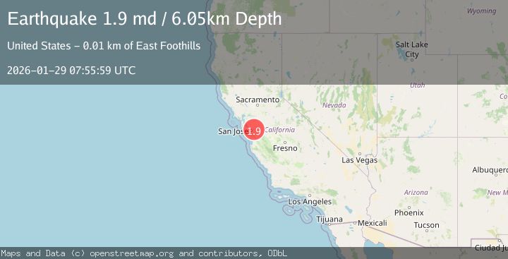
Earthquake 9 km E of Alum Rock, CA
Thu, 29 Jan 2026 07:55:59 GMT
Time4 hours ago
Location
37.3715, -121.7273
Depth
6.1 KM
Event Summary
A 1.9 magnitude earthquake struck on 9 km E of Alum Rock, CA, at Thu, 29 Jan 2026 07:55:59 GMT. Depth: 6.05000019073486km. Reviewed by USGS seismologists, this minor quake occurred at a magnitude type of md.
Magnitude
1.9
md
Source
USGS
Intensity
-
Agency Reports
1 Sources| Source | Magnitude | Depth | Time |
|---|---|---|---|
| USGSPrimary | 1.9 | 6 km | 4 hours ago |
Earthquake Details
AutomaticEvent IDusgs_nc75303656
Tsunami PotentialNo
Magnitude Typemd
Nearest Places
Comments
Join the discussion about this event.
Latest Earthquakes
2.8Mag
Timor Region
Time1 hour ago
Depth10.00 km
SourceBMKG (Automatic)
3.0Mag
Java, Indonesia
Time1 hour ago
Depth26.40 km
SourceBMKG (Automatic)
2.1Mag
WESTERN TURKEY
Time1 hour ago
Depth3.90 km
SourceKOERI (Automatic)
1.6Mag
WESTERN TURKEY
Time1 hour ago
Depth8.30 km
SourceAFAD (Automatic)
2.4Mag
FRANCE
Time1 hour ago
Depth5.00 km
SourceReNaSS (Automatic)
Nearby Earthquakes
1.4Mag
13 km N of Morgan Hill, CA
Time2 days ago
Depth3.37 km
SourceUSGS (Automatic)
1.4Mag
12 km SE of Sunol, CA
Time3 days ago
Depth2.44 km
SourceUSGS (Automatic)
1.5Mag
5 km ESE of Sunol, CA
Time14 hours ago
Depth8.35 km
SourceUSGS (Automatic)
1.8Mag
6 km SSW of Livermore, CA
Time3 days ago
Depth9.32 km
SourceUSGS (Automatic)
1.3Mag
5 km SW of Loyola, CA
Time1 day ago
Depth7.14 km
SourceUSGS (Automatic)