Earthquake 13 km NW of The Geysers, CA
Thu, 29 Jan 2026 16:12:05 GMT
Time5 hours ago
Location
38.8515, -122.8672
Depth
11.7 KM
Event Summary
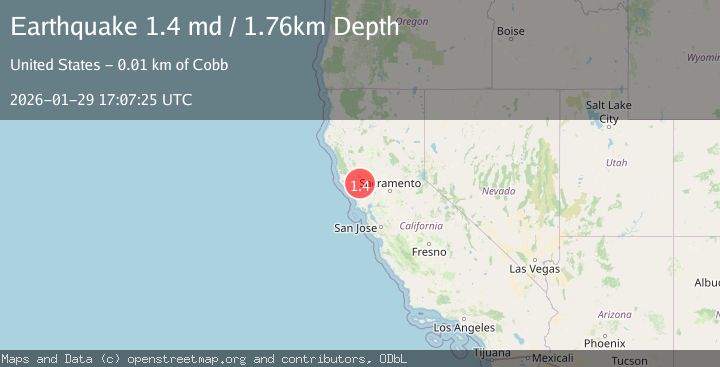
A 1.4 magnitude earthquake struck on 13 km NW of The Geysers, CA, at Thu, 29 Jan 2026 16:12:05 GMT. Depth: 11.7299995422363km. Reviewed by USGS seismologists, this minor quake occurred at a magnitude type of md.
Magnitude
1.4
md
Source
USGS
Intensity
-
Agency Reports
1 Sources| Source | Magnitude | Depth | Time |
|---|---|---|---|
| USGSPrimary | 1.4 | 2 km | 4 hours ago |
Earthquake Details
AutomaticEvent IDusgs_nc75303781
Tsunami PotentialNo
Magnitude Typemd
Nearest Places
- Mahnke Peak1.6 km
- Hummingbird Creek1.6 km
- Alder Creek1.9 km
- Wildhorse Creek2.6 km
- Squaw Creek3.2 km
Comments
Join the discussion about this event.
Latest Earthquakes
1.5Mag
19 km NNE of Indio, CA
Time22 minutes ago
Depth5.02 km
SourceUSGS (Automatic)
3.4Mag
Southern Sumatra, Indonesia
Time29 minutes ago
Depth48.59 km
SourceBMKG (Automatic)
3.2Mag
COQUIMBO, CHILE
Time43 minutes ago
Depth16.10 km
SourceCSN (Automatic)
3.9Mag
Tanimbar Islands Region, Indonesia
Time50 minutes ago
Depth10.00 km
SourceBMKG (Automatic)
1.2Mag
WESTERN TURKEY
Time59 minutes ago
Depth7.00 km
SourceAFAD (Automatic)
Nearby Earthquakes
1.4Mag
13 km NW of The Geysers, CA
Time5 days ago
Depth2.43 km
SourceUSGS (Automatic)
0.5Mag
Northern California
Time1 week ago
Depth2.00 km
SourceUSGS (Automatic)
1.2Mag
10 km WNW of The Geysers, CA
Time5 days ago
Depth2.21 km
SourceUSGS (Automatic)
1.6Mag
10 km NW of The Geysers, CA
Time1 week ago
Depth1.46 km
SourceUSGS (Automatic)
0.8Mag
10 km WNW of The Geysers, CA
Time4 days ago
Depth1.49 km
SourceUSGS (Automatic)