Earthquake 12 km W of Manton, CA
Fri, 30 Jan 2026 09:03:03 GMT
Time1 hour ago
Location
40.4077, -122.0075
Depth
16.0 KM
Event Summary
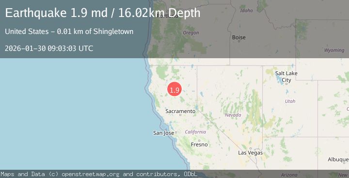
A 1.9 magnitude earthquake struck on 12 km W of Manton, CA, at Fri, 30 Jan 2026 09:03:03 GMT. Depth: 16.0200004577637km. Reviewed by USGS seismologists, this minor quake occurred at a magnitude type of md.
Magnitude
1.9
md
Source
USGS
Intensity
-
Agency Reports
1 Sources| Source | Magnitude | Depth | Time |
|---|---|---|---|
| USGSPrimary | 1.9 | 16 km | 1 hour ago |
Earthquake Details
AutomaticEvent IDusgs_nc75304116
Tsunami PotentialNo
Magnitude Typemd
Nearest Places
- Long Ranch1.7 km
- South Fork Battle Creek1.9 km
- North Fork Battle Creek1.9 km
- Baldwin Creek2.1 km
- Morgan Creek2.2 km
Comments
Join the discussion about this event.
Latest Earthquakes
2.7Mag
Northern Sumatra, Indonesia
Time7 minutes ago
Depth8.31 km
SourceBMKG (Automatic)
2.3Mag
ISLAND OF HAWAII, HAWAII
Time11 minutes ago
Depth30.40 km
SourceHV (Automatic)
2.2Mag
SWITZERLAND
Time17 minutes ago
Depth10.90 km
SourceETHZ (Automatic)
1.4Mag
WESTERN TURKEY
Time17 minutes ago
Depth7.00 km
SourceAFAD (Automatic)
2.1Mag
FRANCE
Time19 minutes ago
Depth5.00 km
SourceReNaSS (Automatic)
Nearby Earthquakes
2.1Mag
NORTHERN CALIFORNIA
Time3 days ago
Depth13.40 km
SourceNC (Automatic)
2.0Mag
NORTHERN CALIFORNIA
Time5 days ago
Depth15.40 km
SourceNC (Automatic)
2.1Mag
NORTHERN CALIFORNIA
Time1 day ago
Depth-1.60 km
SourceNC (Automatic)
2.7Mag
NORTHERN CALIFORNIA
Time4 days ago
Depth5.80 km
SourceNC (Automatic)
2.1Mag
NORTHERN CALIFORNIA
Time1 day ago
Depth4.40 km
SourceNC (Automatic)