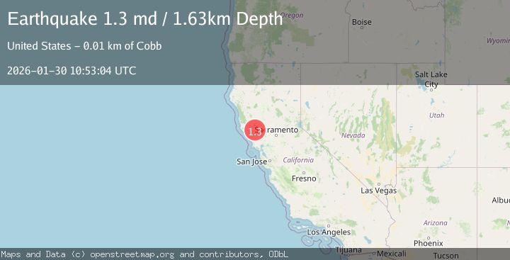
Earthquake 8 km NW of The Geysers, CA
Fri, 30 Jan 2026 10:53:04 GMT
Time5 hours ago
Location
38.8312, -122.8163
Depth
1.6 KM
Event Summary
A 1.3 magnitude earthquake struck on 8 km NW of The Geysers, CA, at Fri, 30 Jan 2026 10:53:04 GMT. Depth: 1.62999999523163km. Reviewed by USGS seismologists, this minor quake occurred at a magnitude type of md.
Magnitude
1.3
md
Source
USGS
Intensity
-
Agency Reports
1 Sources| Source | Magnitude | Depth | Time |
|---|---|---|---|
| USGSPrimary | 1.3 | 2 km | 5 hours ago |
Earthquake Details
AutomaticEvent IDusgs_nc75304126
Tsunami PotentialNo
Magnitude Typemd
Nearest Places
- Bear Canyon0.3 km
- Coldwater Canyon0.8 km
- Black Oaks1.4 km
- Caldwell Ranch1.5 km
- Caldwell Pines1.7 km
Comments
Join the discussion about this event.
Latest Earthquakes
2.9Mag
OFFSHORE EL SALVADOR
Time13 minutes ago
Depth36.00 km
SourceINET (Automatic)
2.0Mag
Sumbawa Region, Indonesia
Time16 minutes ago
Depth23.59 km
SourceBMKG (Automatic)
2.7Mag
OFFSHORE GUATEMALA
Time17 minutes ago
Depth23.00 km
SourceINET (Automatic)
2.9Mag
Timor Region
Time21 minutes ago
Depth14.59 km
SourceBMKG (Automatic)
2.2Mag
52 km ENE of Pedro Bay, Alaska
Time25 minutes ago
Depth122.70 km
SourceUSGS (Automatic)
Nearby Earthquakes
1.1Mag
8 km NW of The Geysers, CA
Time1 day ago
Depth1.57 km
SourceUSGS (Automatic)
1.1Mag
8 km NW of The Geysers, CA
Time1 week ago
Depth1.53 km
SourceUSGS (Automatic)
0.7Mag
8 km NW of The Geysers, CA
Time4 days ago
Depth2.39 km
SourceUSGS (Automatic)
0.3Mag
8 km NW of The Geysers, CA
Time5 days ago
Depth2.14 km
SourceUSGS (Automatic)
1.3Mag
8 km NW of The Geysers, CA
Time1 week ago
Depth1.46 km
SourceUSGS (Automatic)