Earthquake 2 km W of Anderson Springs, CA
Mon, 02 Feb 2026 21:00:39 GMT
Time2 hours ago
Location
38.7777, -122.7173
Depth
2.1 KM
Event Summary
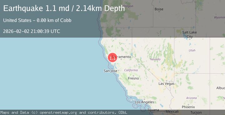
A 1.1 magnitude earthquake struck on 2 km W of Anderson Springs, CA, at Mon, 02 Feb 2026 21:00:39 GMT. Depth: 2.14000010490417km. Reviewed by USGS seismologists, this minor quake occurred at a magnitude type of md.
Magnitude
1.1
md
Source
USGS
Intensity
-
Agency Reports
1 Sources| Source | Magnitude | Depth | Time |
|---|---|---|---|
| USGSPrimary | 1.1 | 2 km | 2 hours ago |
Earthquake Details
AutomaticEvent IDusgs_nc75306201
Tsunami PotentialNo
Magnitude Typemd
Nearest Places
- Lincoln Rock0.4 km
- Gunning Creek0.7 km
- Castle Rock Springs0.8 km
- Wardlow Rock1.3 km
- Big Chief Mine1.4 km
Comments
Join the discussion about this event.
Latest Earthquakes
1.5Mag
19 km NNE of Indio, CA
Time2 minutes ago
Depth3.99 km
SourceUSGS (Automatic)
2.3Mag
Sumbawa Region, Indonesia
Time8 minutes ago
Depth13.16 km
SourceBMKG (Automatic)
2.2Mag
7 km S of Badger, Alaska
Time20 minutes ago
Depth19.20 km
SourceUSGS (Automatic)
1.9Mag
87 km N of Yakutat, Alaska
Time33 minutes ago
Depth5.00 km
SourceUSGS (Automatic)
1.8Mag
44 km NW of Tatitlek, Alaska
Time37 minutes ago
Depth17.80 km
SourceUSGS (Automatic)
Nearby Earthquakes
1.1Mag
3 km W of Anderson Springs, CA
Time3 days ago
Depth1.33 km
SourceUSGS (Automatic)
1.9Mag
3 km ENE of The Geysers, CA
Time1 week ago
Depth1.61 km
SourceUSGS (Automatic)
1.5Mag
3 km WSW of Anderson Springs, CA
Time1 week ago
Depth1.01 km
SourceUSGS (Automatic)
1.1Mag
3 km SW of Anderson Springs, CA
Time1 week ago
Depth1.94 km
SourceUSGS (Automatic)
1.7Mag
3 km NE of The Geysers, CA
Time1 week ago
Depth1.59 km
SourceUSGS (Automatic)