Earthquake 6 km NE of Ridgemark, CA
Fri, 06 Feb 2026 05:31:25 GMT
Time1 hour ago
Location
36.8555, -121.3217
Depth
11.3 KM
Event Summary
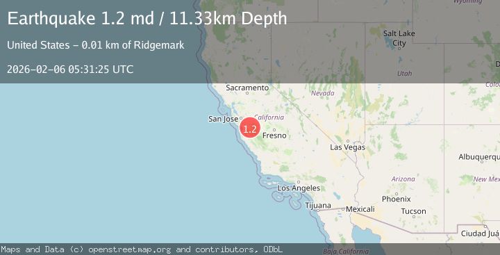
A 1.2 magnitude earthquake struck on 6 km NE of Ridgemark, CA, at Fri, 06 Feb 2026 05:31:25 GMT. Depth: 11.3299999237061km. Reviewed by USGS seismologists, this minor quake occurred at a magnitude type of md.
Magnitude
1.2
md
Source
USGS
Intensity
-
Agency Reports
1 Sources| Source | Magnitude | Depth | Time |
|---|---|---|---|
| USGSPrimary | 1.2 | 11 km | 1 hour ago |
Earthquake Details
AutomaticEvent IDusgs_nc75309367
Tsunami PotentialNo
Magnitude Typemd
Nearest Places
- Santa Ana Valley1.1 km
- Christensen Ranch Airport2.2 km
- Santa Ana School3.0 km
- Coyote Peak3.4 km
- John Smith Landfill3.4 km
Comments
Join the discussion about this event.
Latest Earthquakes
5.1Mag
Celebes Sea
Time6 minutes ago
Depth82.93 km
SourceBMKG (Automatic)
1.5Mag
14 km SSW of Arvin, CA
Time9 minutes ago
Depth14.97 km
SourceUSGS (Automatic)
3.1Mag
Java, Indonesia
Time18 minutes ago
Depth13.07 km
SourceBMKG (Automatic)
3.4Mag
OFFSHORE GUATEMALA
Time20 minutes ago
Depth42.00 km
SourceINET (Automatic)
2.4Mag
Sumbawa Region, Indonesia
Time33 minutes ago
Depth18.97 km
SourceBMKG (Automatic)
Nearby Earthquakes
1.2Mag
2 km SW of Hollister, CA
Time6 days ago
Depth7.56 km
SourceUSGS (Automatic)
1.5Mag
2 km SW of Hollister, CA
Time6 days ago
Depth8.65 km
SourceUSGS (Automatic)
1.4Mag
10 km N of Hollister, CA
Time1 week ago
Depth10.13 km
SourceUSGS (Automatic)
1.1Mag
6 km SE of San Juan Bautista, CA
Time2 weeks ago
Depth5.17 km
SourceUSGS (Automatic)
1.4Mag
18 km NNE of Hollister, CA
Time1 week ago
Depth10.28 km
SourceUSGS (Automatic)