Earthquake 3 km E of San Ramon, CA
Mon, 09 Feb 2026 22:05:12 GMT
Time1 hour ago
Location
37.7792, -121.9480
Depth
4.8 KM
Event Summary
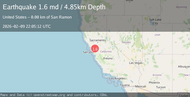
A 1.6 magnitude earthquake struck on 3 km E of San Ramon, CA, at Mon, 09 Feb 2026 22:05:12 GMT. Depth: 4.84999990463257km. Reviewed by USGS seismologists, this minor quake occurred at a magnitude type of md.
Magnitude
1.6
md
Source
USGS
Intensity
-
Agency Reports
1 Sources| Source | Magnitude | Depth | Time |
|---|---|---|---|
| USGSPrimary | 1.6 | 5 km | 1 hour ago |
Earthquake Details
AutomaticEvent IDusgs_nc75311457
Tsunami PotentialNo
Magnitude Typemd
Nearest Places
Comments
Join the discussion about this event.
Latest Earthquakes
0.9Mag
16 km NW of Toms Place, CA
Time16 minutes ago
Depth4.08 km
SourceUSGS (Automatic)
1.6Mag
16 km E of Stanton, Texas
Time24 minutes ago
Depth3.74 km
SourceUSGS (Automatic)
3.1Mag
PHILIPPINE ISLANDS REGION
Time30 minutes ago
Depth3.00 km
SourcePIVS (Automatic)
1.5Mag
SWITZERLAND
Time33 minutes ago
Depth20.70 km
SourceETHZ (Automatic)
3.7Mag
Banda Sea
Time36 minutes ago
Depth132.11 km
SourceBMKG (Automatic)
Nearby Earthquakes
2.5Mag
SAN FRANCISCO BAY AREA, CALIF.
Time6 days ago
Depth6.60 km
SourceNC (Automatic)
1.6Mag
3 km ESE of San Ramon, CA
Time2 weeks ago
Depth7.67 km
SourceUSGS (Automatic)
1.6Mag
3 km ESE of San Ramon, CA
Time1 week ago
Depth7.43 km
SourceUSGS (Automatic)
1.3Mag
3 km E of San Ramon, CA
Time4 days ago
Depth6.08 km
SourceUSGS (Automatic)
1.7Mag
3 km E of San Ramon, CA
Time1 week ago
Depth7.52 km
SourceUSGS (Automatic)