Earthquake 9 km WNW of The Geysers, CA
Tue, 10 Feb 2026 10:29:08 GMT
Time1 week ago
Location
38.8193, -122.8420
Depth
1.5 KM
Event Summary
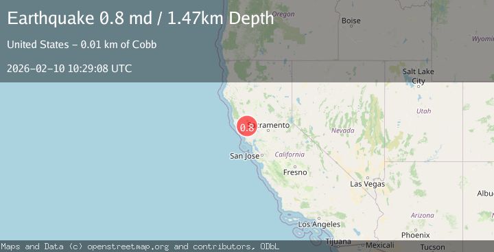
A 0.8 magnitude earthquake struck on 9 km WNW of The Geysers, CA, at Tue, 10 Feb 2026 10:29:08 GMT. Depth: 1.47000002861023km. Reviewed by USGS seismologists, this minor quake occurred at a magnitude type of md.
Magnitude
0.8
md
Source
USGS
Intensity
-
Agency Reports
1 Sources| Source | Magnitude | Depth | Time |
|---|---|---|---|
| USGSPrimary | 0.8 | 1 km | 1 week ago |
Earthquake Details
AutomaticEvent IDusgs_nc75311712
Tsunami PotentialNo
Magnitude Typemd
Nearest Places
- Truitt Creek1.4 km
- Adit Number One-One Hundred Twenty1.4 km
- Buckeye Mine1.5 km
- Black Oaks1.5 km
- Eagle Rock1.5 km
Comments
Join the discussion about this event.
Latest Earthquakes
3.0Mag
Northern Sumatra, Indonesia
Time3 minutes ago
Depth5.00 km
SourceBMKG
2.9Mag
Salta, Argentina
Time3 minutes ago
Depth296.51 km
SourceVYT (Automatic)
2.4Mag
Sumbawa Region, Indonesia
Time11 minutes ago
Depth20.31 km
SourceBMKG
1.2Mag
3 km N of The Geysers, CA
Time15 minutes ago
Depth1.73 km
SourceUSGS (Automatic)
2.2Mag
Central Alaska
Time17 minutes ago
Depth9.77 km
SourceVYT (Automatic)
Nearby Earthquakes
0.6Mag
9 km WNW of The Geysers, CA
Time5 days ago
Depth1.87 km
SourceUSGS (Automatic)
1.0Mag
9 km WNW of The Geysers, CA
Time5 days ago
Depth2.30 km
SourceUSGS (Automatic)
0.9Mag
9 km WNW of The Geysers, CA
Time2 days ago
Depth2.23 km
SourceUSGS (Automatic)
1.0Mag
9 km WNW of The Geysers, CA
Time6 days ago
Depth1.83 km
SourceUSGS (Automatic)
3.0Mag
NORTHERN CALIFORNIA
Time10 years ago
Depth3.00 km
SourceNC (Automatic)