Earthquake 4 km ESE of San Ramon, CA
Tue, 10 Feb 2026 19:49:54 GMT
Time1 week ago
Location
37.7617, -121.9367
Depth
3.2 KM
Event Summary
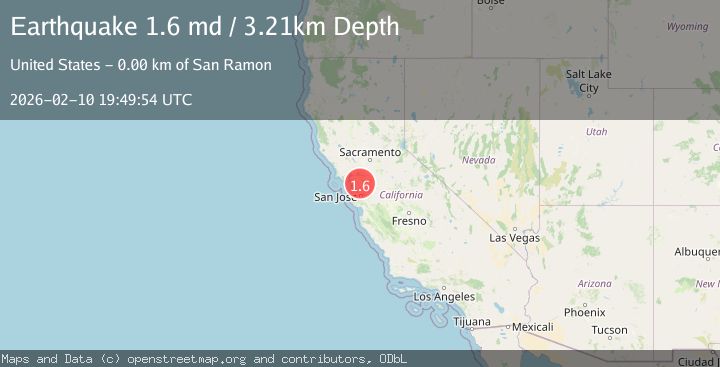
A 1.6 magnitude earthquake struck on 4 km ESE of San Ramon, CA, at Tue, 10 Feb 2026 19:49:54 GMT. Depth: 3.21000003814697km. Reviewed by USGS seismologists, this minor quake occurred at a magnitude type of md.
Magnitude
1.6
md
Source
USGS
Intensity
-
Agency Reports
1 Sources| Source | Magnitude | Depth | Time |
|---|---|---|---|
| USGSPrimary | 1.6 | 3 km | 1 week ago |
Earthquake Details
AutomaticEvent IDusgs_nc75311877
Tsunami PotentialNo
Magnitude Typemd
Nearest Places
- City of San Ramon0.1 km
- Canyon Lakes Golf Course0.7 km
- San Ramon Village Shopping Center0.9 km
- Oakwood San Ramon1.0 km
- Coyote Creek1.1 km
Comments
Join the discussion about this event.
Latest Earthquakes
3.4Mag
southern Peru
Time3 minutes ago
Depth204.47 km
SourceVYT (Automatic)
2.1Mag
SAN FRANCISCO BAY AREA, CALIF.
Time6 minutes ago
Depth6.40 km
SourceNC (Automatic)
2.4Mag
Fox Islands, Aleutian Islands, Alaska
Time6 minutes ago
Depth44.43 km
SourceVYT (Automatic)
2.4Mag
British Columbia, Canada
Time7 minutes ago
Depth3.91 km
SourceVYT (Automatic)
2.1Mag
Near North Coast of West Papua
Time7 minutes ago
Depth11.10 km
SourceBMKG
Nearby Earthquakes
2.5Mag
SAN FRANCISCO BAY AREA, CALIF.
Time1 week ago
Depth7.20 km
SourceNC (Automatic)
2.4Mag
SAN FRANCISCO BAY AREA, CALIF.
Time2 weeks ago
Depth8.00 km
SourceNC (Automatic)
2.2Mag
4 km ESE of San Ramon, CA
Time2 weeks ago
Depth4.23 km
SourceUSGS (Automatic)
2.8Mag
SAN FRANCISCO BAY AREA, CALIF.
Time2 weeks ago
Depth6.80 km
SourceNC (Automatic)
2.9Mag
SAN FRANCISCO BAY AREA, CALIF.
Time2 weeks ago
Depth8.30 km
SourceNC (Automatic)