Earthquake 10 km WNW of The Geysers, CA
Thu, 12 Feb 2026 09:03:04 GMT
Time1 week ago
Location
38.8175, -122.8558
Depth
2.7 KM
Event Summary
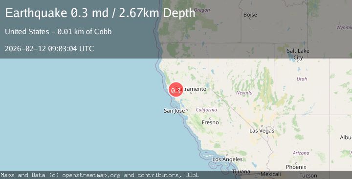
A 0.3 magnitude earthquake struck on 10 km WNW of The Geysers, CA, at Thu, 12 Feb 2026 09:03:04 GMT. Depth: 2.67000007629395km. Reviewed by USGS seismologists, this minor quake occurred at a magnitude type of md.
Magnitude
0.3
md
Source
USGS
Intensity
-
Agency Reports
1 Sources| Source | Magnitude | Depth | Time |
|---|---|---|---|
| USGSPrimary | 0.3 | 3 km | 1 week ago |
Earthquake Details
AutomaticEvent IDusgs_nc75312592
Tsunami PotentialNo
Magnitude Typemd
Nearest Places
- 0.6 km
- 0.7 km
- 1.1 km
- 1.5 km
- 1.7 km
Comments
Join the discussion about this event.
Latest Earthquakes
2.1Mag
Finland
Time6 minutes ago
Depth0.00 km
SourceVYT (Automatic)
1.5Mag
Finland
Time7 minutes ago
Depth0.00 km
SourceVYT (Automatic)
7.6Mag
Kalimantan, Indonesia
Time9 minutes ago
Depth631.47 km
SourceVYT (Automatic)
2.7Mag
Off West Coast of Northern Sumatra
Time11 minutes ago
Depth35.13 km
SourceBMKG
3.1Mag
south of Sumbawa, Indonesia
Time13 minutes ago
Depth0.00 km
SourceVYT (Automatic)
Nearby Earthquakes
1.3Mag
10 km WNW of The Geysers, CA
Time1 week ago
Depth2.57 km
SourceUSGS (Automatic)
0.9Mag
10 km WNW of The Geysers, CA
Time6 days ago
Depth2.61 km
SourceUSGS (Automatic)
0.4Mag
10 km WNW of The Geysers, CA
Time5 days ago
Depth2.11 km
SourceUSGS (Automatic)
0.8Mag
10 km WNW of The Geysers, CA
Time3 weeks ago
Depth2.70 km
SourceUSGS (Automatic)
0.7Mag
10 km WNW of The Geysers, CA
Time3 days ago
Depth2.56 km
SourceUSGS (Automatic)