Earthquake 10 km WNW of The Geysers, CA
Mon, 16 Feb 2026 16:25:31 GMT
Time2 days ago
Location
38.8212, -122.8517
Depth
2.6 KM
Event Summary
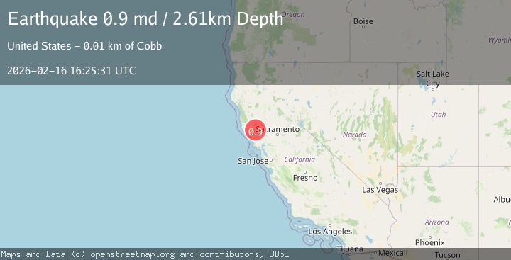
A 0.9 magnitude earthquake struck on 10 km WNW of The Geysers, CA, at Mon, 16 Feb 2026 16:25:31 GMT. Depth: 2.60999989509583km. Reviewed by USGS seismologists, this minor quake occurred at a magnitude type of md.
Magnitude
0.9
md
Source
USGS
Intensity
-
Agency Reports
1 Sources| Source | Magnitude | Depth | Time |
|---|---|---|---|
| USGSPrimary | 0.9 | 3 km | 2 days ago |
Earthquake Details
AutomaticEvent IDusgs_nc75314667
Tsunami PotentialNo
Magnitude Typemd
Nearest Places
- Buckeye Mine0.6 km
- Truitt Creek1.0 km
- Truitt Ranch1.6 km
- Cloverdale Mine Headquarters1.8 km
- Adit Number One-One Hundred Twenty1.8 km
Comments
Join the discussion about this event.
Latest Earthquakes
1.8Mag
British Columbia, Canada
Time2 hours ago
Depth9.03 km
SourceVYT (Automatic)
1.7Mag
Southern Alaska
Time2 hours ago
Depth67.63 km
SourceVYT (Automatic)
1.6Mag
British Columbia, Canada
Time3 hours ago
Depth16.97 km
SourceVYT (Automatic)
3.3Mag
Salta, Argentina
Time3 hours ago
Depth197.88 km
SourceVYT (Automatic)
1.9Mag
British Columbia, Canada
Time3 hours ago
Depth0.98 km
SourceVYT (Automatic)
Nearby Earthquakes
0.7Mag
10 km WNW of The Geysers, CA
Time2 days ago
Depth2.27 km
SourceUSGS (Automatic)
1.3Mag
10 km WNW of The Geysers, CA
Time4 days ago
Depth2.57 km
SourceUSGS (Automatic)
0.5Mag
10 km WNW of The Geysers, CA
Time5 days ago
Depth1.80 km
SourceUSGS (Automatic)
0.7Mag
10 km WNW of The Geysers, CA
Time5 hours ago
Depth2.56 km
SourceUSGS (Automatic)
2.1Mag
9 km WNW of The Geysers, CA
Time3 weeks ago
Depth1.24 km
SourceUSGS (Automatic)