Earthquake 2 km NW of The Geysers, CA
Thu, 12 Feb 2026 10:04:27 GMT
Time6 days ago
Location
38.7877, -122.7707
Depth
4.2 KM
Event Summary
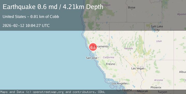
A 0.6 magnitude earthquake struck on 2 km NW of The Geysers, CA, at Thu, 12 Feb 2026 10:04:27 GMT. Depth: 4.21000003814697km. Reviewed by USGS seismologists, this minor quake occurred at a magnitude type of md.
Magnitude
0.6
md
Source
USGS
Intensity
-
Agency Reports
1 Sources| Source | Magnitude | Depth | Time |
|---|---|---|---|
| USGSPrimary | 0.6 | 4 km | 6 days ago |
Earthquake Details
AutomaticEvent IDusgs_nc75312627
Tsunami PotentialNo
Magnitude Typemd
Nearest Places
- Hot Springs Creek1.0 km
- Burned Mountain1.0 km
- Smudgeo Number 1 Heliport1.5 km
- Dianna Rock1.8 km
- The Geysers1.9 km
Comments
Join the discussion about this event.
Latest Earthquakes
1.2Mag
Southern Alaska
Time5 minutes ago
Depth37.11 km
SourceVYT (Automatic)
3.0Mag
Seram, Indonesia
Time5 minutes ago
Depth12.36 km
SourceBMKG
1.1Mag
Washington
Time9 minutes ago
Depth9.64 km
SourceVYT (Automatic)
1.3Mag
WESTERN TURKEY
Time10 minutes ago
Depth8.60 km
SourceAFAD (Automatic)
1.9Mag
32 km NW of Toyah, Texas
Time12 minutes ago
Depth4.09 km
SourceUSGS (Automatic)
Nearby Earthquakes
1.7Mag
2 km NW of The Geysers, CA
Time1 day ago
Depth0.79 km
SourceUSGS (Automatic)
0.8Mag
2 km NW of The Geysers, CA
Time5 days ago
Depth3.61 km
SourceUSGS (Automatic)
2.1Mag
NORTHERN CALIFORNIA
Time1 month ago
Depth4.10 km
SourceNC (Automatic)
3.0Mag
NORTHERN CALIFORNIA
Time9 months ago
Depth1.50 km
SourceNC (Automatic)
3.0Mag
NORTHERN CALIFORNIA
Time3 months ago
Depth3.40 km
SourceNC (Automatic)