Earthquake 2 km NW of The Geysers, CA
Tue, 17 Feb 2026 13:28:46 GMT
Time22 hours ago
Location
38.7872, -122.7698
Depth
0.8 KM
Event Summary
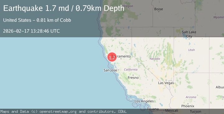
A 1.7 magnitude earthquake struck on 2 km NW of The Geysers, CA, at Tue, 17 Feb 2026 13:28:46 GMT. Depth: 0.790000021457672km. Reviewed by USGS seismologists, this minor quake occurred at a magnitude type of md.
Magnitude
1.7
md
Source
USGS
Intensity
-
Agency Reports
1 Sources| Source | Magnitude | Depth | Time |
|---|---|---|---|
| USGSPrimary | 1.7 | 1 km | 22 hours ago |
Earthquake Details
AutomaticEvent IDusgs_nc75315052
Tsunami PotentialNo
Magnitude Typemd
Nearest Places
- Hot Springs Creek1.1 km
- Burned Mountain1.1 km
- Smudgeo Number 1 Heliport1.4 km
- Dianna Rock1.8 km
- The Geysers1.9 km
Comments
Join the discussion about this event.
Latest Earthquakes
2.4Mag
Northern Sumatra, Indonesia
Time22 hours ago
Depth3.00 km
SourceBMKG
2.7Mag
SAN JUAN, ARGENTINA
Time23 hours ago
Depth96.00 km
SourceNSNA (Automatic)
3.9Mag
near the north coast of Papua, Indonesia
Time23 hours ago
Depth43.09 km
SourceVYT (Automatic)
2.2Mag
Antofagasta, Chile
Time23 hours ago
Depth125.73 km
SourceVYT (Automatic)
2.1Mag
Sumbawa Region, Indonesia
Time23 hours ago
Depth18.83 km
SourceBMKG
Nearby Earthquakes
0.6Mag
2 km NW of The Geysers, CA
Time6 days ago
Depth4.21 km
SourceUSGS (Automatic)
0.8Mag
2 km NW of The Geysers, CA
Time5 days ago
Depth3.61 km
SourceUSGS (Automatic)
2.1Mag
NORTHERN CALIFORNIA
Time1 month ago
Depth4.10 km
SourceNC (Automatic)
3.0Mag
NORTHERN CALIFORNIA
Time3 months ago
Depth3.40 km
SourceNC (Automatic)
3.0Mag
NORTHERN CALIFORNIA
Time9 months ago
Depth1.50 km
SourceNC (Automatic)