Earthquake 6 km NW of Livermore, CA
Fri, 13 Feb 2026 21:13:51 GMT
Time5 days ago
Location
37.7222, -121.8123
Depth
3.0 KM
Event Summary
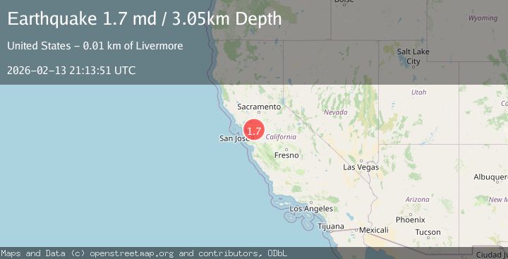
A 1.7 magnitude earthquake struck on 6 km NW of Livermore, CA, at Fri, 13 Feb 2026 21:13:51 GMT. Depth: 3.04999995231628km. Reviewed by USGS seismologists, this minor quake occurred at a magnitude type of md.
Magnitude
1.7
md
Source
USGS
Intensity
-
Agency Reports
1 Sources| Source | Magnitude | Depth | Time |
|---|---|---|---|
| USGSPrimary | 1.7 | 3 km | 5 days ago |
Earthquake Details
AutomaticEvent IDusgs_nc75313357
Tsunami PotentialNo
Magnitude Typemd
Nearest Places
Comments
Join the discussion about this event.
Latest Earthquakes
1.1Mag
31 km WSW of Ackerly, Texas
Time6 minutes ago
Depth3.93 km
SourceUSGS (Automatic)
2.4Mag
West Papua Region, Indonesia
Time13 minutes ago
Depth10.00 km
SourceBMKG
3.3Mag
Talaud Islands, Indonesia
Time14 minutes ago
Depth10.00 km
SourceBMKG
1.1Mag
4 km NW of The Geysers, CA
Time15 minutes ago
Depth3.39 km
SourceUSGS (Automatic)
1.0Mag
33 km WSW of Ackerly, Texas
Time15 minutes ago
Depth4.44 km
SourceUSGS (Automatic)
Nearby Earthquakes
3.0Mag
SAN FRANCISCO BAY AREA, CALIF.
Time5 months ago
Depth13.80 km
SourceNEIC (Automatic)
3.0Mag
SAN FRANCISCO BAY AREA, CALIF.
Time11 years ago
Depth3.00 km
SourceNC (Automatic)
2.4Mag
SAN FRANCISCO BAY AREA, CALIF.
Time1 month ago
Depth9.20 km
SourceNEIC (Automatic)
1.6Mag
6 km NNE of Dublin, CA
Time4 days ago
Depth8.42 km
SourceUSGS (Automatic)
1.8Mag
6 km SSW of Livermore, CA
Time3 weeks ago
Depth9.32 km
SourceUSGS (Automatic)