Earthquake 3 km NW of The Geysers, CA
Sat, 14 Feb 2026 22:37:32 GMT
Time3 days ago
Location
38.7947, -122.7775
Depth
2.9 KM
Event Summary
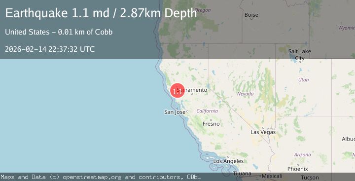
A 1.1 magnitude earthquake struck on 3 km NW of The Geysers, CA, at Sat, 14 Feb 2026 22:37:32 GMT. Depth: 2.86999988555908km. Reviewed by USGS seismologists, this minor quake occurred at a magnitude type of md.
Magnitude
1.1
md
Source
USGS
Intensity
-
Agency Reports
1 Sources| Source | Magnitude | Depth | Time |
|---|---|---|---|
| USGSPrimary | 1.1 | 3 km | 3 days ago |
Earthquake Details
AutomaticEvent IDusgs_nc75313937
Tsunami PotentialNo
Magnitude Typemd
Nearest Places
- Burned Mountain0.4 km
- Hot Springs Creek0.8 km
- Cobb Creek1.5 km
- Dianna Rock1.6 km
- Geyser Rock2.3 km
Comments
Join the discussion about this event.
Latest Earthquakes
2.5Mag
Java, Indonesia
Time2 minutes ago
Depth76.49 km
SourceBMKG
1.9Mag
Tarapaca, Chile
Time8 minutes ago
Depth7.93 km
SourceVYT (Automatic)
2.4Mag
West Papua Region, Indonesia
Time9 minutes ago
Depth10.00 km
SourceBMKG
2.7Mag
Antofagasta, Chile
Time11 minutes ago
Depth0.00 km
SourceVYT (Automatic)
2.7Mag
Tarapaca, Chile
Time15 minutes ago
Depth10.50 km
SourceVYT (Automatic)
Nearby Earthquakes
1.1Mag
3 km NW of The Geysers, CA
Time6 days ago
Depth3.00 km
SourceUSGS (Automatic)
1.7Mag
3 km NW of The Geysers, CA
Time2 weeks ago
Depth2.18 km
SourceUSGS (Automatic)
3.6Mag
3 km NW of The Geysers, CA
Time1 week ago
Depth3.22 km
SourceUSGS (Automatic)
2.0Mag
3 km NW of The Geysers, CA
Time1 week ago
Depth3.13 km
SourceUSGS (Automatic)
2.3Mag
NORTHERN CALIFORNIA
Time1 month ago
Depth3.10 km
SourceNC (Automatic)