Earthquake 9 km WNW of The Geysers, CA
Fri, 20 Feb 2026 10:08:23 GMT
Time1 hour ago
Location
38.8220, -122.8432
Depth
2.4 KM
Event Summary
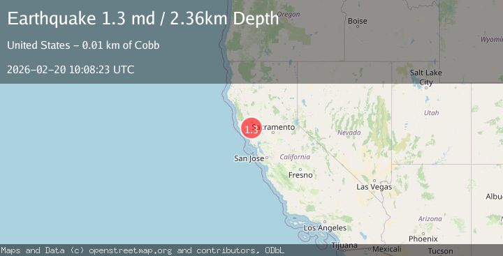
A 1.3 magnitude earthquake struck on 9 km WNW of The Geysers, CA, at Fri, 20 Feb 2026 10:08:23 GMT. Depth: 2.35999989509583km. Reviewed by USGS seismologists, this minor quake occurred at a magnitude type of md.
Magnitude
1.3
md
Source
USGS
Intensity
-
Agency Reports
1 Sources| Source | Magnitude | Depth | Time |
|---|---|---|---|
| USGSPrimary | 1.3 | 2 km | 1 hour ago |
Earthquake Details
AutomaticEvent IDusgs_nc75316267
Tsunami PotentialNo
Magnitude Typemd
Nearest Places
- Buckeye Mine1.3 km
- Black Oaks1.3 km
- Truitt Creek1.5 km
- Adit Number One-One Hundred Twenty1.8 km
- Coldwater Canyon1.8 km
Comments
Join the discussion about this event.
Latest Earthquakes
2.0Mag
Southern California
Time1 hour ago
Depth14.40 km
SourceVYT (Automatic)
3.0Mag
Potosi, Bolivia
Time1 hour ago
Depth188.11 km
SourceVYT (Automatic)
1.7Mag
British Columbia, Canada
Time1 hour ago
Depth15.99 km
SourceVYT (Automatic)
1.7Mag
7 km SSE of Pāhala, Hawaii
Time1 hour ago
Depth43.23 km
SourceUSGS (Automatic)
1.6Mag
36 km NNW of Mentone, Texas
Time1 hour ago
Depth7.26 km
SourceUSGS (Automatic)
Nearby Earthquakes
0.5Mag
9 km NW of The Geysers, CA
Time3 days ago
Depth1.76 km
SourceUSGS (Automatic)
0.5Mag
9 km NW of The Geysers, CA
Time1 week ago
Depth2.17 km
SourceUSGS (Automatic)
0.9Mag
9 km WNW of The Geysers, CA
Time3 days ago
Depth2.23 km
SourceUSGS (Automatic)
0.8Mag
9 km WNW of The Geysers, CA
Time2 days ago
Depth1.81 km
SourceUSGS (Automatic)
0.9Mag
9 km NW of The Geysers, CA
Time1 week ago
Depth2.55 km
SourceUSGS (Automatic)