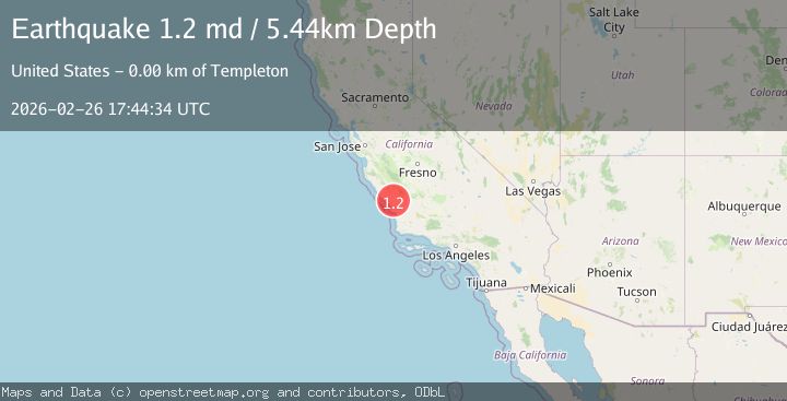
Earthquake 5 km WNW of Templeton, CA
Thu, 26 Feb 2026 17:44:34 GMT
Time1 hour ago
Location
35.5665, -120.7570
Depth
5.4 KM
Event Summary
A 1.2 magnitude earthquake struck on 5 km WNW of Templeton, CA, at Thu, 26 Feb 2026 17:44:34 GMT. Depth: 5.44000005722046km. Reviewed by USGS seismologists, this minor quake occurred at a magnitude type of md.
Magnitude
1.2
md
Source
USGS
Intensity
-
Agency Reports
1 Sources| Source | Magnitude | Depth | Time |
|---|---|---|---|
| USGSPrimary | 1.2 | 5 km | 1 hour ago |
Earthquake Details
AutomaticEvent IDusgs_nc75319312
Tsunami PotentialNo
Magnitude Typemd
Nearest Places
- 0.6 km
- 1.8 km
- 2.4 km
- 2.4 km
- 3.0 km
Comments
Join the discussion about this event.
Latest Earthquakes
1.2Mag
10 km NNW of Anza, CA
Time1 hour ago
Depth16.33 km
SourceUSGS (Automatic)
2.6Mag
ISLAND OF HAWAII, HAWAII
Time1 hour ago
Depth3.50 km
SourceHV (Automatic)
0.9Mag
8 km WNW of Cobb, CA
Time1 hour ago
Depth1.60 km
SourceUSGS (Automatic)
2.3Mag
Sumba Region, Indonesia
Time1 hour ago
Depth10.00 km
SourceBMKG
2.3Mag
EASTERN TURKEY
Time1 hour ago
Depth4.00 km
SourceKOERI (Automatic)
Nearby Earthquakes
2.7Mag
CENTRAL CALIFORNIA
Time2 months ago
Depth5.00 km
SourceNEIC (Automatic)
3.0Mag
CENTRAL CALIFORNIA
Time6 years ago
Depth5.00 km
SourceNC (Automatic)
2.0Mag
CENTRAL CALIFORNIA
Time1 month ago
Depth6.70 km
SourceNC (Automatic)
1.4Mag
2 km E of Cayucos, CA
Time5 days ago
Depth1.56 km
SourceUSGS (Automatic)
1.7Mag
8 km ESE of Atascadero, CA
Time3 weeks ago
Depth4.59 km
SourceUSGS (Automatic)