Earthquake 8 km NW of The Geysers, CA
Fri, 27 Feb 2026 18:27:41 GMT
Time15 hours ago
Location
38.8297, -122.8150
Depth
1.6 KM
Event Summary
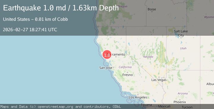
A 1.0 magnitude earthquake struck on 8 km NW of The Geysers, CA, at Fri, 27 Feb 2026 18:27:41 GMT. Depth: 1.62999999523163km. Reviewed by USGS seismologists, this minor quake occurred at a magnitude type of md.
Magnitude
1.0
md
Source
USGS
Intensity
-
Agency Reports
1 Sources| Source | Magnitude | Depth | Time |
|---|---|---|---|
| USGSPrimary | 1.0 | 2 km | 15 hours ago |
Earthquake Details
AutomaticEvent IDusgs_nc75319882
Tsunami PotentialNo
Magnitude Typemd
Nearest Places
- 0.2 km
- 0.9 km
- 1.5 km
- 1.7 km
- 1.9 km
Comments
Join the discussion about this event.
Latest Earthquakes
2.1Mag
Near North Coast of West Papua
Time14 hours ago
Depth10.00 km
SourceBMKG
2.0Mag
Southeastern Alaska
Time14 hours ago
Depth0.00 km
SourceVYT (Automatic)
1.3Mag
15 km NNW of Sand Springs, Texas
Time14 hours ago
Depth3.18 km
SourceUSGS (Automatic)
2.4Mag
OKLAHOMA
Time14 hours ago
Depth5.80 km
SourceOK (Automatic)
1.9Mag
Southern Alaska
Time14 hours ago
Depth4.15 km
SourceVYT (Automatic)
Nearby Earthquakes
1.3Mag
8 km NW of The Geysers, CA
Time1 month ago
Depth2.16 km
SourceUSGS (Automatic)
2.1Mag
NORTHERN CALIFORNIA
Time2 weeks ago
Depth1.70 km
SourceNC (Automatic)
2.1Mag
8 km NW of The Geysers, CA
Time2 weeks ago
Depth1.69 km
SourceUSGS (Automatic)
0.9Mag
8 km NW of The Geysers, CA
Time1 day ago
Depth1.88 km
SourceUSGS (Automatic)
2.1Mag
NORTHERN CALIFORNIA
Time1 month ago
Depth1.50 km
SourceNC (Automatic)