Earthquake 17 km W of Petrolia, CA
Sat, 28 Feb 2026 11:26:53 GMT
Time2 hours ago
Location
40.2965, -124.4800
Depth
9.6 KM
Event Summary
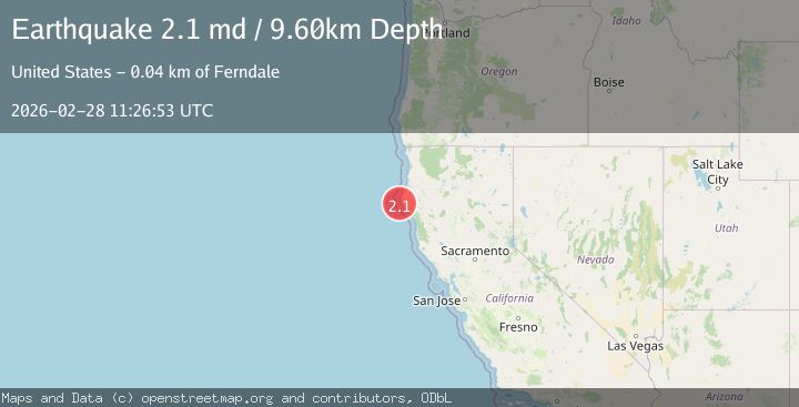
A 2.1 magnitude earthquake struck on 17 km W of Petrolia, CA, at Sat, 28 Feb 2026 11:26:53 GMT. Depth: 9.60000038146973km. Reviewed by USGS seismologists, this minor quake occurred at a magnitude type of md.
Magnitude
2.1
md
Source
USGS
Intensity
-
Agency Reports
1 Sources| Source | Magnitude | Depth | Time |
|---|---|---|---|
| USGSPrimary | 2.1 | 10 km | 2 hours ago |
Earthquake Details
AutomaticEvent IDusgs_nc75320147
Tsunami PotentialNo
Magnitude Typemd
Nearest Places
- 2.9 km
- 8.2 km
- 9.3 km
- 10.4 km
- 10.4 km
Comments
Join the discussion about this event.
Latest Earthquakes
2.5Mag
southern Sumatra, Indonesia
Time2 hours ago
Depth29.05 km
SourceVYT (Automatic)
4.4Mag
RAJASTHAN, INDIA
Time2 hours ago
Depth23.90 km
SourceNDI (Automatic)
1.4Mag
Southern Alaska
Time2 hours ago
Depth31.62 km
SourceVYT (Automatic)
4.3Mag
FIJI REGION
Time2 hours ago
Depth539.80 km
SourceNEIC (Automatic)
0.7Mag
Southern Alaska
Time2 hours ago
Depth7.81 km
SourceVYT (Automatic)
Nearby Earthquakes
1.8Mag
17 km W of Petrolia, CA
Time3 weeks ago
Depth10.32 km
SourceUSGS (Automatic)
3.0Mag
OFFSHORE NORTHERN CALIFORNIA
Time7 years ago
Depth7.00 km
SourceNC (Automatic)
3.0Mag
OFFSHORE NORTHERN CALIFORNIA
Time11 years ago
Depth12.00 km
SourceNC (Automatic)
2.4Mag
18 km WSW of Petrolia, CA
Time5 days ago
Depth20.11 km
SourceUSGS (Automatic)
1.9Mag
18 km W of Petrolia, CA
Time1 month ago
Depth18.85 km
SourceUSGS (Automatic)