Earthquake 7 km SW of Furnace Creek, California
Tue, 27 Jan 2026 17:27:19 GMT
Time3 hours ago
Location
36.4078, -116.9137
Depth
4.5 KM
Event Summary
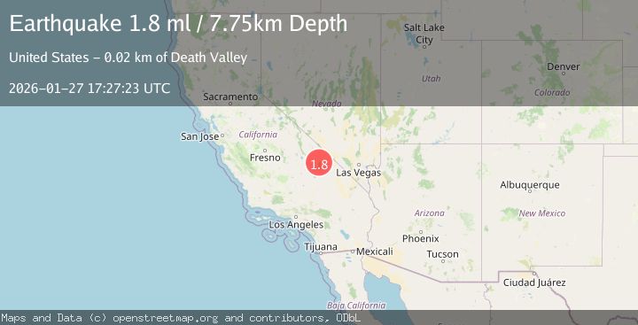
A 1.8 magnitude earthquake struck on 7 km SW of Furnace Creek, California, at Tue, 27 Jan 2026 17:27:19 GMT. Depth: 4.5358km. Reviewed by USGS seismologists, this minor quake occurred at a magnitude type of ml.
Magnitude
1.8
ml
Source
USGS
Intensity
-
Agency Reports
1 Sources| Source | Magnitude | Depth | Time |
|---|---|---|---|
| USGSPrimary | 1.8 | 8 km | 3 hours ago |
Earthquake Details
AutomaticEvent IDusgs_nn00910059
Tsunami PotentialNo
Magnitude Typeml
Nearest Places
- Middle Basin3.3 km
- Furnace Creek Wash3.4 km
- Blackwater Wash4.8 km
- Indian Village5.8 km
- Mushroom Rock6.1 km
Comments
Join the discussion about this event.
Latest Earthquakes
2.0Mag
52 km SSE of Denali National Park, Alaska
Time7 minutes ago
Depth5.00 km
SourceUSGS (Automatic)
1.6Mag
11 km W of Pine Valley, CA
Time9 minutes ago
Depth16.83 km
SourceUSGS (Automatic)
3.5Mag
CRETE, GREECE
Time15 minutes ago
Depth10.00 km
SourceTHE (Automatic)
2.3Mag
6 km ESE of Elgin, South Carolina
Time20 minutes ago
Depth5.00 km
SourceUSGS
1.6Mag
86 km NNW of Karluk, Alaska
Time27 minutes ago
Depth5.00 km
SourceUSGS (Automatic)
Nearby Earthquakes
1.8Mag
8 km SW of Furnace Creek, California
Time1 day ago
Depth5.95 km
SourceUSGS (Automatic)
1.6Mag
10 km SW of Furnace Creek, California
Time10 hours ago
Depth7.46 km
SourceUSGS (Automatic)
1.4Mag
20 km ENE of Little Lake, CA
Time7 hours ago
Depth1.84 km
SourceUSGS (Automatic)
0.6Mag
20 km ENE of Little Lake, CA
Time4 days ago
Depth2.39 km
SourceUSGS (Automatic)
0.7Mag
20 km E of Little Lake, CA
Time1 day ago
Depth2.55 km
SourceUSGS (Automatic)