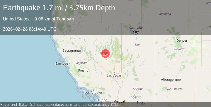
Earthquake 84 km NE of Tonopah, Nevada
Sat, 28 Feb 2026 08:14:49 GMT
Time1 hour ago
Location
38.5130, -116.4527
Depth
3.8 KM
Event Summary
A 1.7 magnitude earthquake struck on 84 km NE of Tonopah, Nevada, at Sat, 28 Feb 2026 08:14:49 GMT. Depth: 3.7546km. Reviewed by USGS seismologists, this minor quake occurred at a magnitude type of ml.
Magnitude
1.7
ml
Source
USGS
Intensity
-
Agency Reports
1 Sources| Source | Magnitude | Depth | Time |
|---|---|---|---|
| USGSPrimary | 1.7 | 4 km | 1 hour ago |
Earthquake Details
AutomaticEvent IDusgs_nn00911333
Tsunami PotentialNo
Magnitude Typeml
Nearest Places
- 2.4 km
- 2.5 km
- 2.6 km
- 2.8 km
- 2.9 km
Comments
Join the discussion about this event.
Latest Earthquakes
1.3Mag
Southeastern Alaska
Time1 hour ago
Depth0.00 km
SourceVYT (Automatic)
1.3Mag
Southern California
Time1 hour ago
Depth9.64 km
SourceVYT (Automatic)
2.6Mag
LA RIOJA, ARGENTINA
Time1 hour ago
Depth127.00 km
SourceNSNA (Automatic)
2.0Mag
WESTERN TURKEY
Time1 hour ago
Depth8.60 km
SourceKOERI (Automatic)
1.5Mag
63 km ENE of Tonopah, Nevada
Time1 hour ago
Depth8.27 km
SourceUSGS (Automatic)
Nearby Earthquakes
1.9Mag
82 km NE of Tonopah, Nevada
Time0 months ago
Depth2.10 km
SourceUSGS (Automatic)
3.0Mag
NEVADA
Time4 months ago
Depth7.90 km
SourceNEIC (Automatic)
2.8Mag
NEVADA
Time2 months ago
Depth7.00 km
SourceNEIC (Automatic)
3.0Mag
NEVADA
Time4 months ago
Depth5.00 km
SourceNEIC (Automatic)
3.0Mag
NEVADA
Time2 months ago
Depth10.00 km
SourceNEIC (Automatic)